


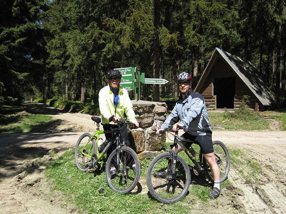
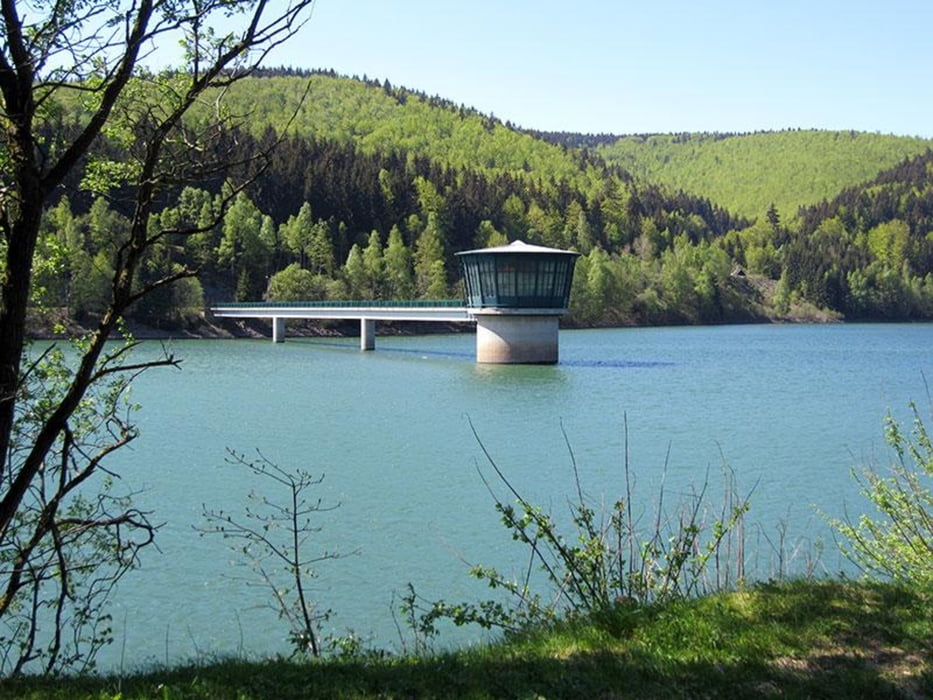
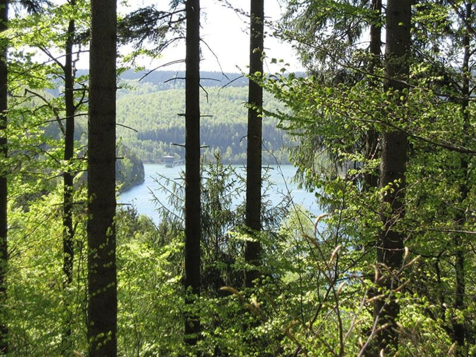
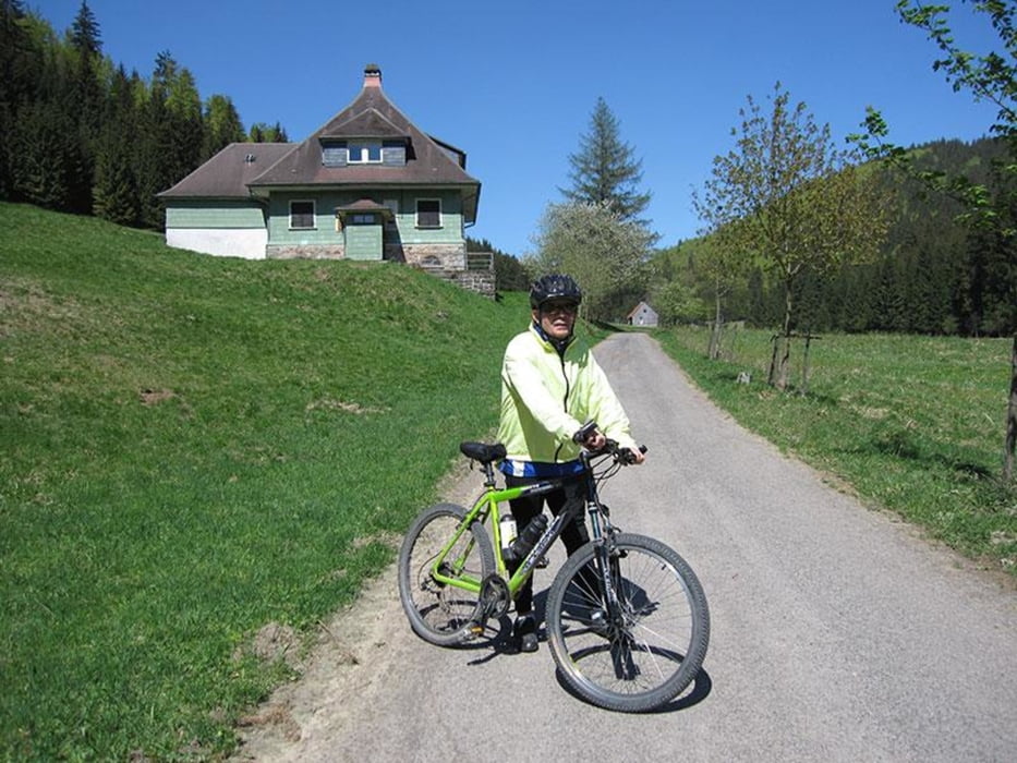
Die Tour führt vom Parkplatz Ortseingang Großbreitenbach aus Richtung Ilmenau kommend an Freibad, Campingplatz, Hohe Tanne, Burhenne und Zigeunerquelle vorbei nach Neustadt am Rennsteig. Von dort aus gehts ca. 1km entlang des Rennsteigs in Richtung Dreiherrenstein. Am Parkplatz zum Köhlermeiler fahren wir links zum Fünfeckigen Stein. Am Fünfeckigen Stein biegen wir links ab und fahren zur Talsperre Schönbrunn hinunter. Unten angekommen halten wir uns links und nehmen den Rundwanderweg um die Talsperre für etwa 4 km. Dann biegen wir scharf links ab und fahren den Schwefelwanderweg hinauf zum Kahlert. Von dort aus gehts an der Haube vorbei ins Reuscheltal. Die Idylle des Reuscheltales verlassen wir nach ca. 2 km in Richtung Intercamping Großbreitenbach. Von dort aus ist es nicht mehr weit zum Ausgangspunkt der Tour. Viel Spaß!
Tour gallery
Tour map and elevation profile
Minimum height 550 m
Maximum height 804 m
More about the tour author
|
|
Steffen34IK |
Comments

Ausgangspunkt der Tour ist der Parkplatz Ortseingang Großbreitenbach aus Richtung Ilmenau kommend. Einfahrt Intercamping, Schwimmbad und Wiegand-Glas.
GPS tracks
Trackpoints-
GPX / Garmin Map Source (gpx) download
-
TCX / Garmin Training Center® (tcx) download
-
CRS / Garmin Training Center® (crs) download
-
Google Earth (kml) download
-
G7ToWin (g7t) download
-
TTQV (trk) download
-
Overlay (ovl) download
-
Fugawi (txt) download
-
Kompass (DAV) Track (tk) download
-
Track data sheet (pdf) download
-
Original file of the author (gpx) download
More about the tour author
|
|
Steffen34IK |
Add to my favorites
Remove from my favorites
Edit tags
Open track
My score
Rate