Login

Forgot your login?

Cookies have to be accepted!
Your browser's cookie functionality is disabled. Please enable this functionality.

Not a member yet?

Register now
Login

Available for registred users only

Log in to use this feature.

Forgot your login?

Cookies have to be accepted!
Your browser's cookie functionality is disabled. Please enable this functionality.

Not a member yet?

Register now
Filter
Categories
Advanced filters
  • Distance (km)
  • Height
Save filters Reset filter

TrackRank

QRCode

Technical data

Distance23,8 km Height290 m Way down290 m Duration01:50 h:m Date26.04.2009
Scores Author User Landscape Fun factor Fitness Technique

Statistics

1643 Views 4 Scores 453 Downloads 4.00 Average
Rate
  • Track data sheet
  • Directions
  • Downloads

Tolle Runde die einen vergessen lässt in einem Ballungsraum zu wohnen.

Mal kurz von der Haustür weg in die Natur fast komplett ohne Straßen.

Die Tour hat einige Schleifen die unsinnig erscheinen aber den Spaßfaktor erhöhen. Dadurch sind einige Trails enthalten die ein Mountainbike notwendig machen.

Als Fahrtrichtung sollte man gegen den Uhrzeigersinn fahren dann ist alles Fahrbar.

Startpunkt ist im Grunde egal.
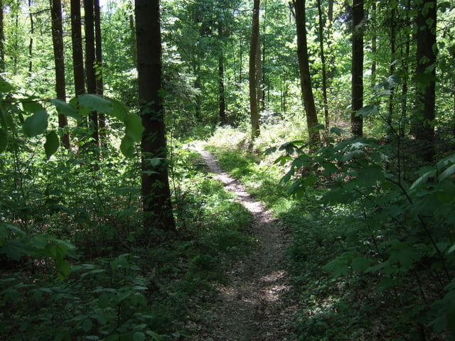
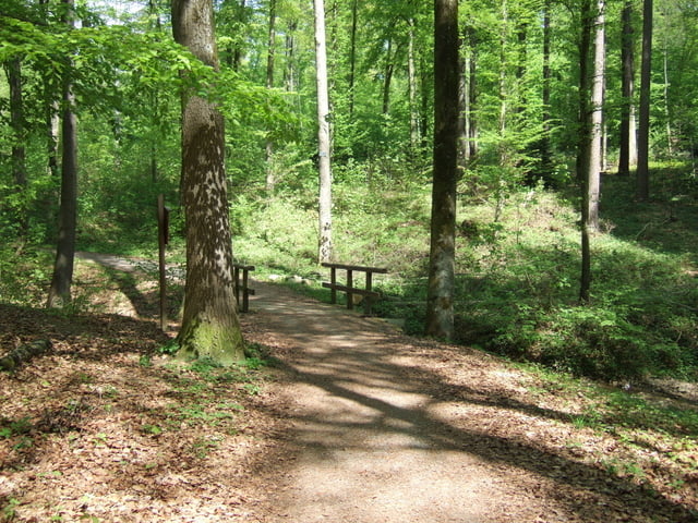
 

Tour gallery

Tour map and elevation profile

  • Open Street Map
  • Google
Minimum height 327 m Maximum height 459 m Detailed view

More about the tour author

Mistral39
Member since 2009

Send private message

Comments

BSpavento on 29.06.2017

Schöne Runde!

Obwohl ich mich in der Ecke soweit auskenne, bin ich durch die Tour auf zT unbekannte Abschnitte gestossen. Schöne Runde - hat Spaß gemacht! Dankeschön und Grüße

GPS tracks

Trackpoints
  • GPX / Garmin Map Source (gpx) download
  • TCX / Garmin Training Center® (tcx) download
  • CRS / Garmin Training Center® (crs) download
  • Google Earth (kml) download
  • G7ToWin (g7t) download
  • TTQV (trk) download
  • Overlay (ovl) download
  • Fugawi (txt) download
  • Kompass (DAV) Track (tk) download
  • Track data sheet (pdf) download
  • Original file of the author (gpx) download

More about the tour author

Mistral39
Member since 2009

Send private message
Share track
Add to my favorites
Remove from my favorites
Edit tags
My score
Rate
Track: Natur pur
Type: Mountain bike
Distance: 23,8 km
Evaluated on:
Duration:
Day(s)
Hour(s)
Minute(s)
Score: Landscape Fun factor Fitness Technique