


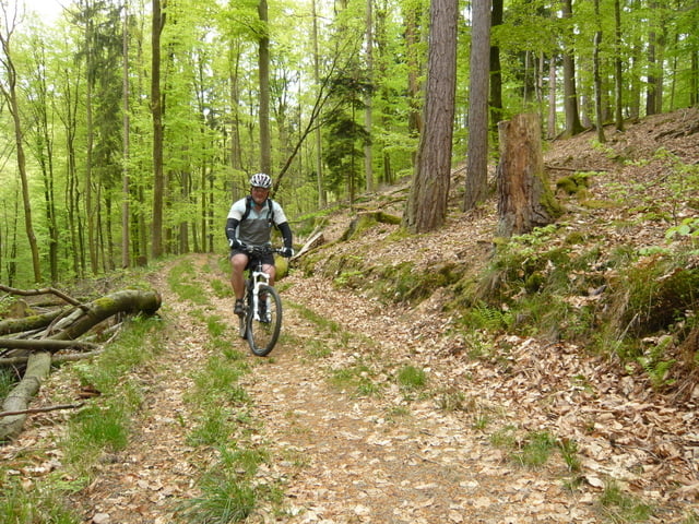
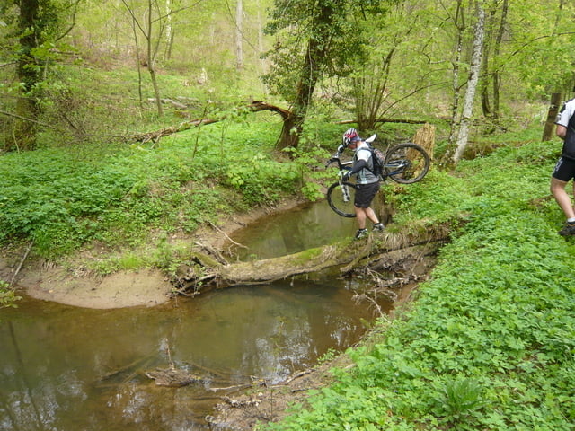
Beau tracé avec du roulant, des descentes, des single trails, ... ont y trouve un peu de tout, il y en a pour tous les gouts.
En partant de Achen nous prenons à travers champ la direction de Bining, pour aller jusquà Montbronn ou nous passons à côté du terrain de Motocross.
Further information at
http://www.dailymotion.com/relevance/search/indyana+momoTour gallery


Tour map and elevation profile
Minimum height 212 m
Maximum height 388 m
More about the tour author
|
|
pascal.67 |
Comments

Le départ se fait du centre de Achen sur le parking du crédit mutuel.
GPS tracks
Trackpoints-
GPX / Garmin Map Source (gpx) download
-
TCX / Garmin Training Center® (tcx) download
-
CRS / Garmin Training Center® (crs) download
-
Google Earth (kml) download
-
G7ToWin (g7t) download
-
TTQV (trk) download
-
Overlay (ovl) download
-
Fugawi (txt) download
-
Kompass (DAV) Track (tk) download
-
Track data sheet (pdf) download
-
Original file of the author (gpx) download
More about the tour author
|
|
pascal.67 |
Add to my favorites
Remove from my favorites
Edit tags
Open track
My score
Rate