
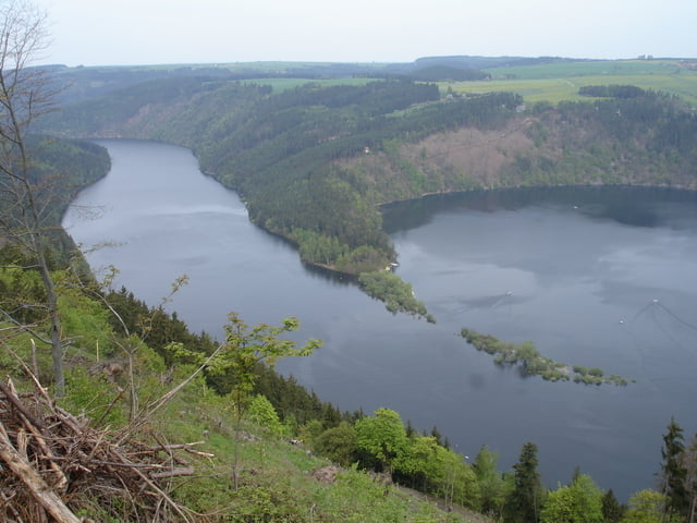

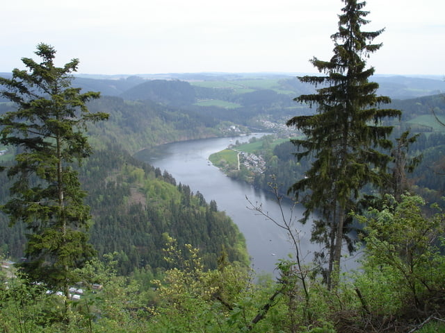
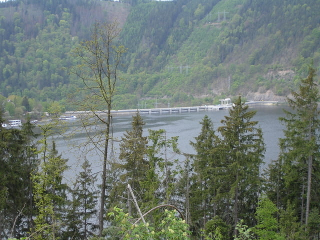
Eine Runde um die Talsperre Hohenwarte 41km.
Wir sind mit dem Uhrzeiger gefahren um erst ein paar schöne Ausblicke von Oben zu sehen und dann an der Talsperre zurück zu fahren.
Eine SUPER Tour und schöne Aussichten.
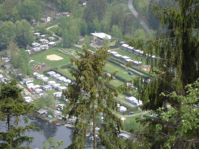
Start sind bei N50 35.960 E11 35.580 wo auch der Campingplatz ist auf dem wir übernachtet haben und sehr zu empfehlen ist.
Gaststätte mit gutem Essen es gibt frisch gefangene Forelle N50 37.136 E11 31.064.
Tour gallery
Tour map and elevation profile
Minimum height 310 m
Maximum height 538 m
More about the tour author
|
|
wing1 |
Comments

A9 in Richtung Gössitz
Campingplatz "Neumannshof"
Hohenwartestausee
Tel.: 036483/22561 oder 7420
N50 35.960 E11 35.580
GPS tracks
Trackpoints-
GPX / Garmin Map Source (gpx) download
-
TCX / Garmin Training Center® (tcx) download
-
CRS / Garmin Training Center® (crs) download
-
Google Earth (kml) download
-
G7ToWin (g7t) download
-
TTQV (trk) download
-
Overlay (ovl) download
-
Fugawi (txt) download
-
Kompass (DAV) Track (tk) download
-
Track data sheet (pdf) download
-
Original file of the author (gpx) download
More about the tour author
|
|
wing1 |
Add to my favorites
Remove from my favorites
Edit tags
Open track
My score
Rate