


Tourstart und -ende waren selbstredend in Eckartsberga.
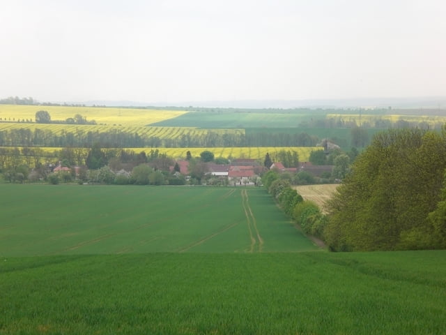
Los gings's an der Brandsäule in den Wald Richtung Funkturmsiedlung, im Wald dann durch den Backofen bis ins Metzenholz auf Höhe Zäckwar.
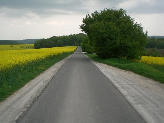
Nach rasanter Abfahrt nach Zäckwar ginges den Landwirtschaftsweg nach Hassenhausen, weiter den Feldweg Richtung Ziegelstein und dann links in den Stendorfer Wald.
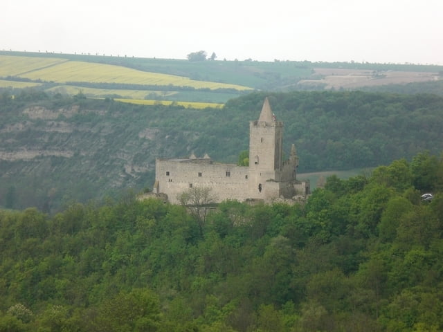
Es folgte der Aufstieg aus dem Saale-Tal hoch zur Rudelsburg und schließlich noch nach Kreipitzsch (Straße). Anschließend ging es Richtung Rödigen und Kleinheringen auf Wiesenwegen.
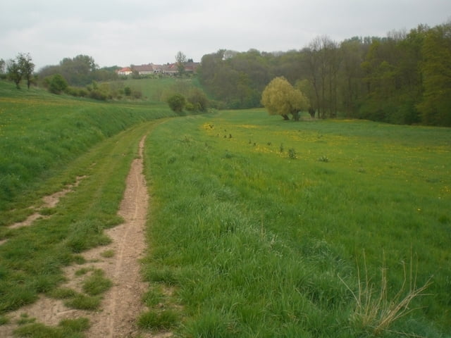
Von Klein- nahm ich die Straße nach Großheringen und von dort erklomm ich den Anstieg nach Sonnendorf. Das dort beginnende Lanitztal führte mich vorbei an den Bad Sulzaer Emsenteich nach Auerstedt und über die Napoleons-Linden zurück zum Start.
Tour gallery
Tour map and elevation profile
Minimum height 104 m
Maximum height 312 m
More about the tour author
|
|
kangaroe |
Comments

GPS tracks
Trackpoints-
GPX / Garmin Map Source (gpx) download
-
TCX / Garmin Training Center® (tcx) download
-
CRS / Garmin Training Center® (crs) download
-
Google Earth (kml) download
-
G7ToWin (g7t) download
-
TTQV (trk) download
-
Overlay (ovl) download
-
Fugawi (txt) download
-
Kompass (DAV) Track (tk) download
-
Track data sheet (pdf) download
-
Original file of the author (gpx) download
More about the tour author
|
|
kangaroe |
Add to my favorites
Remove from my favorites
Edit tags
Open track
My score
Rate