
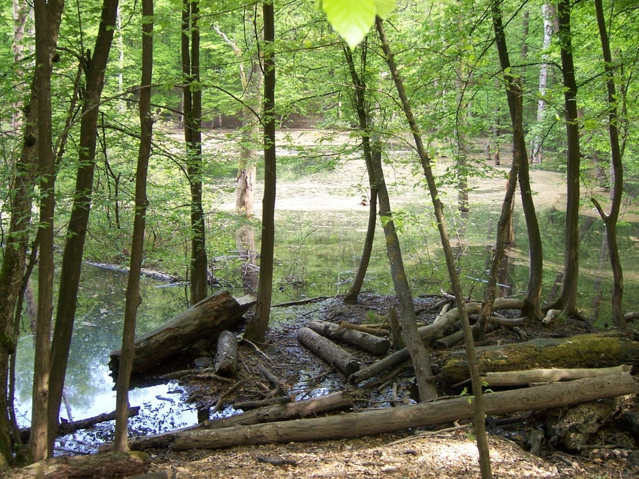

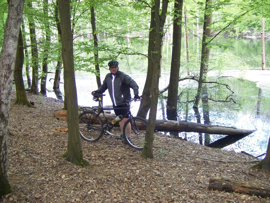
Anfahrt über Püttlinger Bahndamm auf die Ritterstrasse, nach der Überquerung der L270 (Altenkesseler Str.) in den Wald um Von der Heydt, teilweise herrliche flowige Single - Trails mit riesigem Spassfaktor. Rückfahrt über Burbacher Weiher zur Jakobshütte, von dort aus einige Altenkesseler Trails bs zur Ritterstrasse zurück.
Grosser Anteil an Single - Trails, wenig Asphalt und Feldwege. Technisch teilweise anspruchsvoll.
Die Abfahrt nach Püttlingen runter erfolgte aus Zeitgründen über die Strasse.
Viel Spass
Patrick (Ali-Gator)
Tour gallery
Tour map and elevation profile
Minimum height 207 m
Maximum height 356 m
More about the tour author
|
|
Patbald |
Comments
GPS tracks
Trackpoints-
GPX / Garmin Map Source (gpx) download
-
TCX / Garmin Training Center® (tcx) download
-
CRS / Garmin Training Center® (crs) download
-
Google Earth (kml) download
-
G7ToWin (g7t) download
-
TTQV (trk) download
-
Overlay (ovl) download
-
Fugawi (txt) download
-
Kompass (DAV) Track (tk) download
-
Track data sheet (pdf) download
-
Original file of the author (gpx) download
More about the tour author
|
|
Patbald |
Add to my favorites
Remove from my favorites
Edit tags
Open track
My score
Rate
Neues Bike für H. ?
Gruß
Roland
30.04.17
Ich befürchte wir haben gänzlich verschiedene Vorstellungen von singletrails :)
Diese Tour besteht zu 70% aus Forstwegen und zu 25% aus Straße die letzten5 % bleiben dann für "singletrails".
Für mich leider eine Enttäuschung
Für Biker die gemütlich mit ihrem Trekkingrad einen Ausflug machen wollen für die ist diese Tour Empfehlenswert.