

Wir starten von Cefalu aus in östlicher Richtung der Küste entlang.
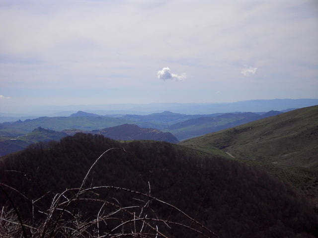
Nach 40 km biegen wir rechts ab Richtung Capizzi. Von nun an steigt es ständig bis auf eine Höhe von ca. 1500 Hm. Den Höchsten Punkt überquert, bietet sich ein wunderschöner Ausblich zum Atna und deren Bergwelt. Es geht bergab durch Capizzi hindurch bis wir nach ca. 90 km auf einer Höhe von 600 angelangt sind.
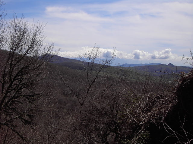
Wir folgen der Beschilderung nach Mistretta, wobei die Straße wieder bis auf 1100 HM ansteigt.
Nach Mistretta kommt noch ein kleiner Anstieg, ca 150 HM, von wo es auf schönen Serpentienen hinab zur Küste geht.
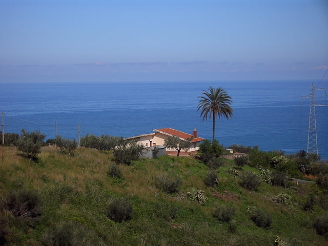
Anschließend noch ca. 25 km flach an der Küste zurück nach Cefalu.
Tour gallery
Tour map and elevation profile
Minimum height -3 m
Maximum height 1501 m
More about the tour author
|
|
höhenreiter |
Comments

Cefalu liegt an der Nordküste Siziliens, ca. 75 km östlich von Palermo.
Eine Autobahneinfahrt sowie eine Bahnstation ist am Ort.
GPS tracks
Trackpoints-
GPX / Garmin Map Source (gpx) download
-
TCX / Garmin Training Center® (tcx) download
-
CRS / Garmin Training Center® (crs) download
-
Google Earth (kml) download
-
G7ToWin (g7t) download
-
TTQV (trk) download
-
Overlay (ovl) download
-
Fugawi (txt) download
-
Kompass (DAV) Track (tk) download
-
Track data sheet (pdf) download
-
Original file of the author (gpx) download
More about the tour author
|
|
höhenreiter |
Add to my favorites
Remove from my favorites
Edit tags
Open track
My score
Rate