


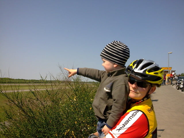
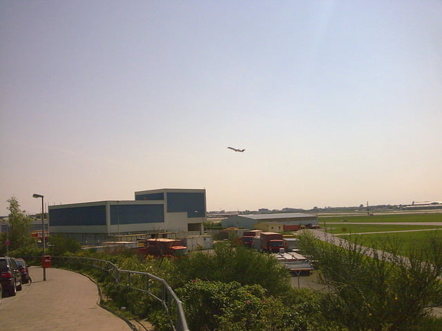
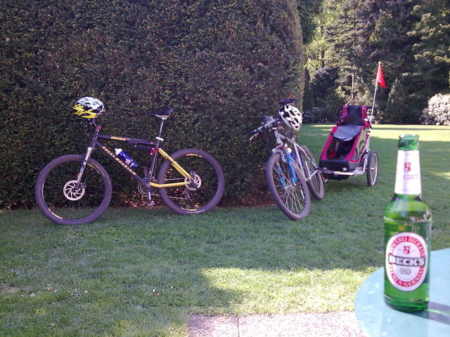
herrliche runde die man mit den kleinen und mit hänger machen kann! ziel ist das cafe coffee to fly, wo man klasse die startenden und landenden flugzeuge beobachten kann. diverse spielplätze liegen auch auf der strecke.
start hamburg lemsahl!
kupferteiche - müllberg - raakmoor - bornbach - flughafen - ohlsdorf - alsteral - lemsahl!
Further information at
http://www.hegibiketours.de/Tour gallery
Tour map and elevation profile
Minimum height 3 m
Maximum height 28 m
More about the tour author
|
|
hegi |
Comments

start in hamburg lemsahl! dort kann man sein auto in den 30ziger zonen parken!
GPS tracks
Trackpoints-
GPX / Garmin Map Source (gpx) download
-
TCX / Garmin Training Center® (tcx) download
-
CRS / Garmin Training Center® (crs) download
-
Google Earth (kml) download
-
G7ToWin (g7t) download
-
TTQV (trk) download
-
Overlay (ovl) download
-
Fugawi (txt) download
-
Kompass (DAV) Track (tk) download
-
Track data sheet (pdf) download
-
Original file of the author (gpx) download
More about the tour author
|
|
hegi |
Add to my favorites
Remove from my favorites
Edit tags
Open track
My score
Rate