


Wir sind in Eichstetten gestartet, deshalb ist die Tour etwas länger als die normale Permanente.
Eigentlicher Startort ist das Gasthaus zur Sonne in Bötzingen. Von da geht es los gegen den Uhrzeigersinn, flach über Merdingen, Nieder- und Oberrimlingen, an Bad Krozingen vorbei über Tunsel (hier haben wir einen Abstecher auf die Rennstrecke der Bad Krozinger Radrennwoche in einen Weinberg gemacht, der nicht zur Strecke gehört) nach Heitersheim.
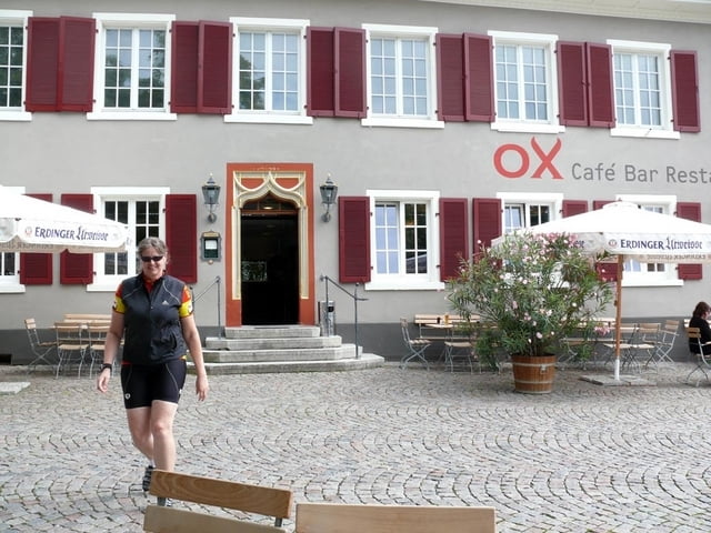
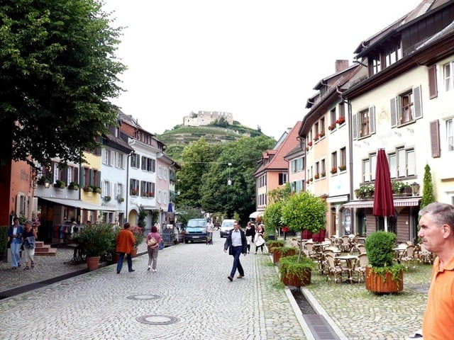
In Heitersheim haben wir uns die Profis beim Weg der Rothaus Regio Tour angesehen und sind danach beim sehr empfehlenswerten Gasthaus Ox eingekehrt. Weiter ging es hügeliger über Laufen Staufen, Ebringen und Schallstadt zurück zum Kaiserstuhl.
Schöne Tour!
Tour gallery
Tour map and elevation profile
Minimum height 186 m
Maximum height 434 m
More about the tour author
|
|
athena |
Comments

GPS tracks
Trackpoints-
GPX / Garmin Map Source (gpx) download
-
TCX / Garmin Training Center® (tcx) download
-
CRS / Garmin Training Center® (crs) download
-
Google Earth (kml) download
-
G7ToWin (g7t) download
-
TTQV (trk) download
-
Overlay (ovl) download
-
Fugawi (txt) download
-
Kompass (DAV) Track (tk) download
-
Track data sheet (pdf) download
-
Original file of the author (gpx) download
More about the tour author
|
|
athena |
Add to my favorites
Remove from my favorites
Edit tags
Open track
My score
Rate