


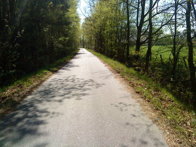
Tolle familienfreundliche tour, die wir mit Fahrradanhänger gefahren sind. Sie ist einigermaßen flach und nur auf einem kleinen Teilstück auf einer Umgehungsstrasse, mit etwas Verkehr, immer asphaltiert. Wenn man auf die Pinneberger Landstrasse einbiegt, sieht man nach kurzer Zeit einen großen Parkplatz. Dort bitte mal kurz reinfahren und schon ist man im Naherholungszentrum: Spielplatz ,Biergarten, Tretbootverleih, Kultur und Café sind auf engem Areal angeordnet und die Schlossinsel ist immer eine Reise wert.
Further information at
http://www.lutzhorn.deTour gallery

Tour map and elevation profile
Minimum height -1 m
Maximum height 27 m
More about the tour author
|
|
Harm |
Comments

Treffpunkt Schulberg in Lutzhorn. An der Schule kann man sehr gut parken.
GPS tracks
Trackpoints-
GPX / Garmin Map Source (gpx) download
-
TCX / Garmin Training Center® (tcx) download
-
CRS / Garmin Training Center® (crs) download
-
Google Earth (kml) download
-
G7ToWin (g7t) download
-
TTQV (trk) download
-
Overlay (ovl) download
-
Fugawi (txt) download
-
Kompass (DAV) Track (tk) download
-
Track data sheet (pdf) download
-
Original file of the author (gpx) download
More about the tour author
|
|
Harm |
Add to my favorites
Remove from my favorites
Edit tags
Open track
My score
Rate