Login

Forgotten password?

Cookies have to be accepted!
Your browser's cookie functionality is disabled. Please enable this functionality.

Not a member yet?

Register now
Login

Available for registred users only

Log in to use this feature.

Forgotten password?

Cookies have to be accepted!
Your browser's cookie functionality is disabled. Please enable this functionality.

Not a member yet?

Register now
Filter
Categories
Advanced filters
  • Distance (km)
  • Height
Save filters Reset filter

TrackRank

QRCode

Technical data

Distance78,5 km Height510 m Way down504 m Duration03:10 h:m Date03.05.2009
Scores Author Landscape Fun factor Fitness Technique

Statistics

369 Views 1 Score 115 Downloads 4.00 Average
Rate
  • Track data sheet
  • Directions
  • Downloads

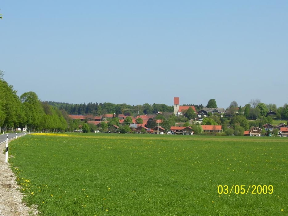
Schöne Rennradtour mit leichten Steigungen auf  Nebenstrassen und Radwegen.

Zahlreiche Einkehrmöglichkeiten mit herlichen Biergärten und toller Aussicht aufs Voralpenland

Tour gallery

Tour map and elevation profile

  • Open Street Map
  • Google
Minimum height 590 m Maximum height 776 m Detailed view

More about the tour author

bmwmai
Member since 2008

Send private message

Comments

axismundi on 21.09.2009

gestern gefahren

bin die tour gestern gefahren.
wirklich wunderschön.
sehr gut zu fahren.
leider funzt gps-tour.info auf dem iphone sehr träge. habe mich daher am anfang ziemlich verfahren und bin so auf 92 km gekommen.
faith on 15.08.2016

heute gefahren

Schön zu fahren, relativ flach trotz Voralpenland, schöne Landschaft.

GPS tracks

Trackpoints
  • GPX / Garmin Map Source (gpx) download
  • TCX / Garmin Training Center® (tcx) download
  • CRS / Garmin Training Center® (crs) download
  • Google Earth (kml) download
  • G7ToWin (g7t) download
  • TTQV (trk) download
  • Overlay (ovl) download
  • Fugawi (txt) download
  • Kompass (DAV) Track (tk) download
  • Track data sheet (pdf) download
  • Original file of the author (gpx) download

More about the tour author

bmwmai
Member since 2008

Send private message
Share track
Add to my favorites
Remove from my favorites
Edit tags
My score
Rate
Track: Piesenkam-Mulirunde
Type: Road biking
Distance: 78,5 km
Evaluated on:
Duration:
Day(s)
Hour(s)
Minute(s)
Score: Landscape Fun factor Fitness Technique