


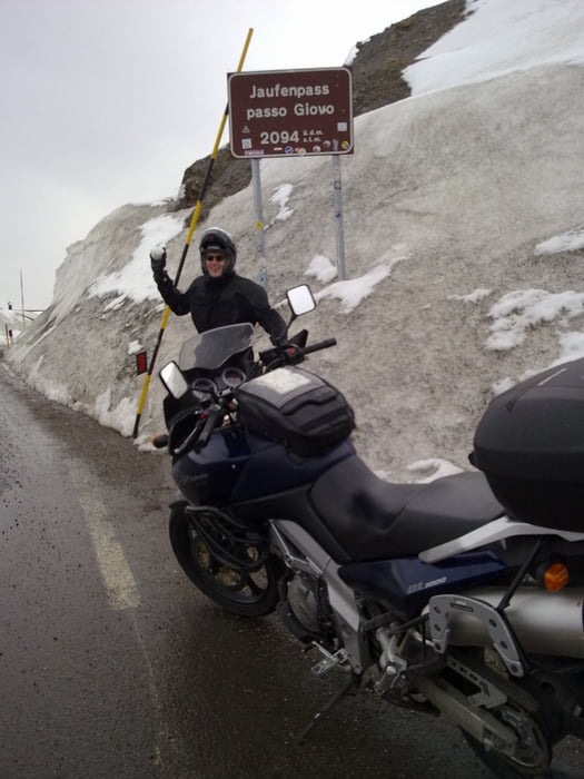
Diese soeben (01.05.2009 - 03.05.2009) gemachte Tour besticht durch ihre grosse Abwechslung. Mal geht es Pässe rauf in eisige Höhen und Schneefall, dann wieder runter ins Tal bei sonnigen 20 Grad. Das Stilfser Joch, das wir uns zum Abschluss der Tour als Dessert genehmigen wollten, war leider noch zu.
Wir benötigen für diese Tour 3 Tage.
Start: Zürich, CH
1. Übernachtung: Bad Tölz
2. Übernachtung: Süd Tirol, Rabland
Hotel Rössl **** (www.roessl.com, sehr empfehlenswert, Hallenbad und Sprudelbad waren Balsam für unsere geschundenen Körper!!)
Tour gallery


Tour map and elevation profile
Minimum height 295 m
Maximum height 2273 m
More about the tour author

|
Putenschnitzel |
Comments

GPS tracks
Trackpoints-
GPX / Garmin Map Source (gpx) download
-
TCX / Garmin Training Center® (tcx) download
-
CRS / Garmin Training Center® (crs) download
-
Google Earth (kml) download
-
G7ToWin (g7t) download
-
TTQV (trk) download
-
Overlay (ovl) download
-
Fugawi (txt) download
-
Kompass (DAV) Track (tk) download
-
Track data sheet (pdf) download
-
Original file of the author (gpx) download
More about the tour author
|
|
Putenschnitzel |
Add to my favorites
Remove from my favorites
Edit tags
Open track
My score
Rate