Login

Forgot your login?

Cookies have to be accepted!
Your browser's cookie functionality is disabled. Please enable this functionality.

Not a member yet?

Register now
Login

Available for registred users only

Log in to use this feature.

Forgot your login?

Cookies have to be accepted!
Your browser's cookie functionality is disabled. Please enable this functionality.

Not a member yet?

Register now
Filter
Categories
Advanced filters
  • Distance (km)
  • Height
Save filters Reset filter

TrackRank

QRCode

Technical data

Distance53,7 km Height1156 m Way down1187 m Duration03:48 h:m Date03.05.2009
Scores Author User Landscape Fun factor Fitness Technique

Statistics

623 Views 2 Scores 152 Downloads 5.00 Average
Rate
  • Track data sheet
  • Directions
  • Downloads

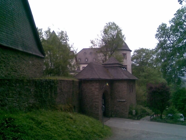
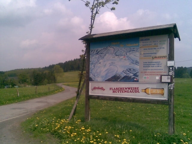
Traumtour, die uns über schöne Kammwege von Olpe über das Skigebiet Fahlenscheid, zur Hohen Bracht führt. Nach rasantem Downhill steigt der Weg ab Bilstein zum nachsten Kamm hin an. Von dort über sehr schöne Trails hinab nach Helden und im Anschluß nach Dünschede über den Kammweg Richtung Waldenburg. Dort fast im freien Fall runter zur Bigge. Der Biggerandweg führt uns zurück zum Startpunkt.

Tour gallery

Tour map and elevation profile

  • Open Street Map
  • Google
Minimum height 279 m Maximum height 605 m Detailed view

More about the tour author

chrischulte
Member since 2009

Send private message

Comments

buggi on 17.10.2010

Sehr schön und sehr kalt!

Bin heute die Tour gefahren. Am Start waren es drei Grad und als ich am Ende war, waren es noch 6 Grad. Sehr viel Nebel, sonst hätte man sicherlich eine Super Sicht gehabt. Danke für diese Tour! Echt klasse!

GPS tracks

Trackpoints
  • GPX / Garmin Map Source (gpx) download
  • TCX / Garmin Training Center® (tcx) download
  • CRS / Garmin Training Center® (crs) download
  • Google Earth (kml) download
  • G7ToWin (g7t) download
  • TTQV (trk) download
  • Overlay (ovl) download
  • Fugawi (txt) download
  • Kompass (DAV) Track (tk) download
  • Track data sheet (pdf) download
  • Original file of the author (gpx) download

More about the tour author

chrischulte
Member since 2009

Send private message
Share track
Add to my favorites
Remove from my favorites
Edit tags
My score
Rate
Track: Kammtour zur Hohen Bracht
Type: Mountain bike
Distance: 53,7 km
Evaluated on:
Duration:
Day(s)
Hour(s)
Minute(s)
Score: Landscape Fun factor Fitness Technique