Login

Forgot your login?

Cookies have to be accepted!
Your browser's cookie functionality is disabled. Please enable this functionality.

Not a member yet?

Register now
Login

Available for registred users only

Log in to use this feature.

Forgot your login?

Cookies have to be accepted!
Your browser's cookie functionality is disabled. Please enable this functionality.

Not a member yet?

Register now
Filter
Categories
Advanced filters
  • Distance (km)
  • Height
Save filters Reset filter

TrackRank

QRCode

Technical data

Distance114,5 km Height2140 m Way down2140 m Duration06:00 h:m Date03.05.2009
Scores Author Landscape Fun factor Fitness Technique

Statistics

381 Views Scores 70 Downloads Average
Rate
  • Track data sheet
  • Directions
  • Downloads
Schöne Runde über weigehend ruhige Straßen übers Elztal- Prechtal-Landwassereck-Hornberg -St. Georgen-Furtwangen-Hexenloch-St.Peter. Einstieg von Freiburg in Denzlingen beim Sportplatz (Radweg Richtung Waldkirch)möglich.

Tour map and elevation profile

  • Open Street Map
  • Google
Minimum height 237 m Maximum height 1014 m Detailed view

More about the tour author

cubaner
Member since 2009

Send private message

Comments

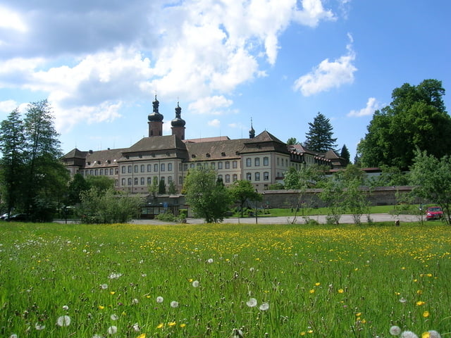
Start der Tour ist in St. Peter beim Parkplatz Rossweiher

GPS tracks

Trackpoints
  • GPX / Garmin Map Source (gpx) download
  • TCX / Garmin Training Center® (tcx) download
  • CRS / Garmin Training Center® (crs) download
  • Google Earth (kml) download
  • G7ToWin (g7t) download
  • TTQV (trk) download
  • Overlay (ovl) download
  • Fugawi (txt) download
  • Kompass (DAV) Track (tk) download
  • Track data sheet (pdf) download
  • Original file of the author (gpx) download

More about the tour author

cubaner
Member since 2009

Send private message
Share track
Add to my favorites
Remove from my favorites
Edit tags
My score
Rate
Track: St. Georgen Runde
Type: Road biking
Distance: 114,5 km
Evaluated on:
Duration:
Day(s)
Hour(s)
Minute(s)
Score: Landscape Fun factor Fitness Technique