
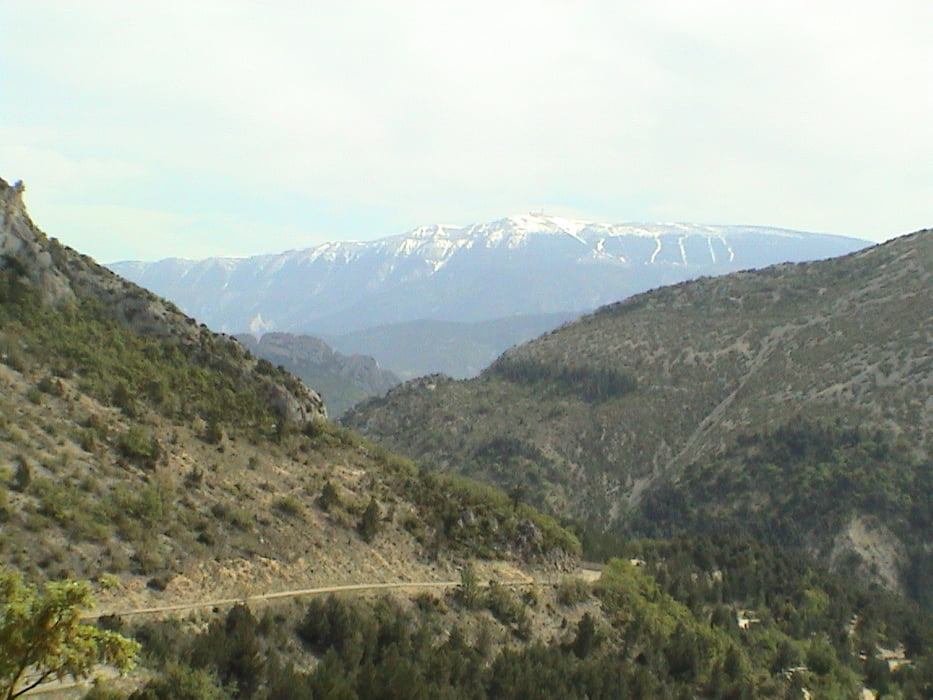

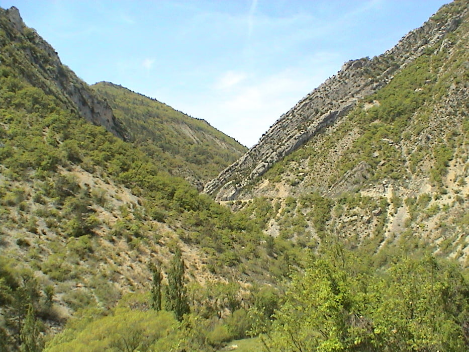
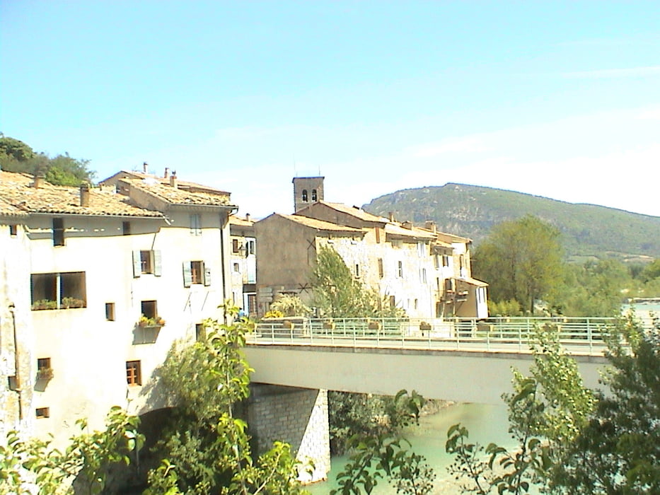
Auf einsamen Straßen führt diese Tour aus der Provence hinaus in die südlichen Alpes Maritimes (Drome). Die Landschaft wird rauher und karger, die Anstiege giftiger und der Mistral tut sein übriges. Als Alternative zum verschneiten Mt. Ventoux eine wunderbare Tour,auf der malerische Dörfer einladen, den ein oder anderen Stop einzulegen. Wer mag, kann an Stelle der pittoresken und wenig befahrenen D 94 hinter Remuzet noch den Col de Soubeyrand einschieben. Ein toller Anstieg (500 m); uns überholte auf dem gesamten Anstieg von 8 km Länge ein einziges Auto.
Tour gallery

Tour map and elevation profile
Minimum height 178 m
Maximum height 920 m
More about the tour author
|
|
Tomo |
Comments

GPS tracks
Trackpoints-
GPX / Garmin Map Source (gpx) download
-
TCX / Garmin Training Center® (tcx) download
-
CRS / Garmin Training Center® (crs) download
-
Google Earth (kml) download
-
G7ToWin (g7t) download
-
TTQV (trk) download
-
Overlay (ovl) download
-
Fugawi (txt) download
-
Kompass (DAV) Track (tk) download
-
Track data sheet (pdf) download
-
Original file of the author (gpx) download
More about the tour author
|
|
Tomo |
Add to my favorites
Remove from my favorites
Edit tags
Open track
My score
Rate