


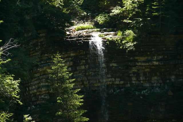
Wenn man ein paar mehr Höhenmeter möchte, dann ist diese Tour das Richtige. Ausgehend vom Marktplatz in Seis, geht es unterhalb der Umlaufbahn durch den Wald nach Bad Ratzes. Von da aus geht es hinauf über den Geologensteig zur Schlernboedelhütte. Die bietet eine tolle Aussicht auf die Seiser Alm und die Rosszähne. Von dort geht es weiter in einem leichten Bogen zur Prosslinger Schwaige auf der Seiser Alm. Dann wieder Abstieg von der Alm Richtung Bad Ratzes und zurück nach Seis.
Tour gallery


Tour map and elevation profile
Minimum height 948 m
Maximum height 1828 m
More about the tour author

|
FLudwig |
Comments

Startpunkt am Marktplatz in Seis oder alternativ auf dem Parkplatz der Umlaufbahn in Seis
GPS tracks
Trackpoints-
GPX / Garmin Map Source (gpx) download
-
TCX / Garmin Training Center® (tcx) download
-
CRS / Garmin Training Center® (crs) download
-
Google Earth (kml) download
-
G7ToWin (g7t) download
-
TTQV (trk) download
-
Overlay (ovl) download
-
Fugawi (txt) download
-
Kompass (DAV) Track (tk) download
-
Track data sheet (pdf) download
-
Original file of the author (gpx) download
More about the tour author
|
|
FLudwig |
Add to my favorites
Remove from my favorites
Edit tags
Open track
My score
Rate