Login

Forgot your login?

Cookies have to be accepted!
Your browser's cookie functionality is disabled. Please enable this functionality.

Not a member yet?

Register now
Login

Available for registred users only

Log in to use this feature.

Forgot your login?

Cookies have to be accepted!
Your browser's cookie functionality is disabled. Please enable this functionality.

Not a member yet?

Register now
Filter
Categories
Advanced filters
  • Distance (km)
  • Height
Save filters Reset filter

TrackRank

QRCode

Technical data

Distance100,3 km Height1726 m Way down1732 m Duration00:00 h:m Date06.05.2006
Scores Author Landscape Fun factor Fitness Technique

Statistics

1161 Views Scores 172 Downloads Average
Rate
  • Track data sheet
  • Directions
  • Downloads
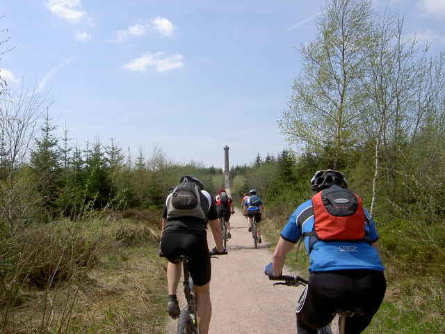
Von Niefern zum Hohloh Turm über den Westweg und div. Zugangswegen, über den Mittelweg zurück.

Further information at

http://www.biketreff-niefern.de

Tour gallery

Tour map and elevation profile

  • Open Street Map
  • Google
Minimum height 199 m Maximum height 983 m Detailed view

More about the tour author

winklem
Member since 2005

Send private message

Comments

Start in Niefern an der Enz Apotheke.
Mehr Infos unter http://www.biketreff-niefern.de

GPS tracks

Trackpoints
  • GPX / Garmin Map Source (gpx) download
  • TCX / Garmin Training Center® (tcx) download
  • CRS / Garmin Training Center® (crs) download
  • Google Earth (kml) download
  • G7ToWin (g7t) download
  • TTQV (trk) download
  • Overlay (ovl) download
  • Fugawi (txt) download
  • Kompass (DAV) Track (tk) download
  • Track data sheet (pdf) download
  • Original file of the author (g7t) download

More about the tour author

winklem
Member since 2005

Send private message
Share track
Add to my favorites
Remove from my favorites
Edit tags
My score
Rate
Track: Nord-Schwarzwald zum Hohloh Turm mit dem Bike Treff Niefern
Type: Mountain bike
Distance: 100,3 km
Evaluated on:
Duration:
Day(s)
Hour(s)
Minute(s)
Score: Landscape Fun factor Fitness Technique