
")

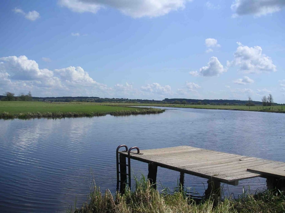
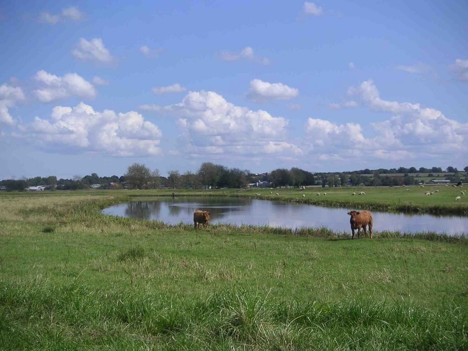
Die Strecke folgt zum großen Teil dem Eider-Treene-Sorge Radweg. Das bedeutet , ein großer Teil der Tour geht durch das Niederungsgebiet der Treene und der Sorge mit der entsprechenden Vegetation. Im Bereich Bergenhusen können in den entsprechenden Jahreszeiten auf den Feuchtwiesen häufig Störche beobachtet werden. In Bergenhusen selbst gibt es mehrere Storchennester und das Naturschutzzentrum des NABU.
Es geht jedoch nicht nur durchs platte Land, denn gerade im Gebiet um Ostenfeld befindet sich eine der höchsten Erhebungen Nordfrieslands mit beachtlichen 20m über NN.
Tour gallery

Tour map and elevation profile
Minimum height 99999 m
Maximum height -99999 m
More about the tour author

|
Timminf |
Comments

Ein geeigneter Startpunkt ist Ostenfeld, östlich von Husum gelegen.
GPS tracks
Trackpoints-
GPX / Garmin Map Source (gpx) download
-
TCX / Garmin Training Center® (tcx) download
-
CRS / Garmin Training Center® (crs) download
-
Google Earth (kml) download
-
G7ToWin (g7t) download
-
TTQV (trk) download
-
Overlay (ovl) download
-
Fugawi (txt) download
-
Kompass (DAV) Track (tk) download
-
Track data sheet (pdf) download
-
Original file of the author (gpx) download
More about the tour author
|
|
Timminf |
Add to my favorites
Remove from my favorites
Edit tags
Open track
My score
Rate