Login

Forgotten password?

Cookies have to be accepted!
Your browser's cookie functionality is disabled. Please enable this functionality.

Not a member yet?

Register now
Login

Available for registred users only

Log in to use this feature.

Forgotten password?

Cookies have to be accepted!
Your browser's cookie functionality is disabled. Please enable this functionality.

Not a member yet?

Register now
Filter
Categories
Advanced filters
  • Distance (km)
  • Height
Save filters Reset filter

TrackRank

QRCode

Technical data

Distance130,5 km Height764 m Way down604 m Duration04:30 h:m Date08.05.2009
Scores Author User Landscape Fun factor Fitness Technique

Statistics

1815 Views 1 Score 232 Downloads 3.00 Average
Rate
  • Track data sheet
  • Directions
  • Downloads

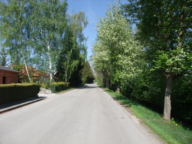
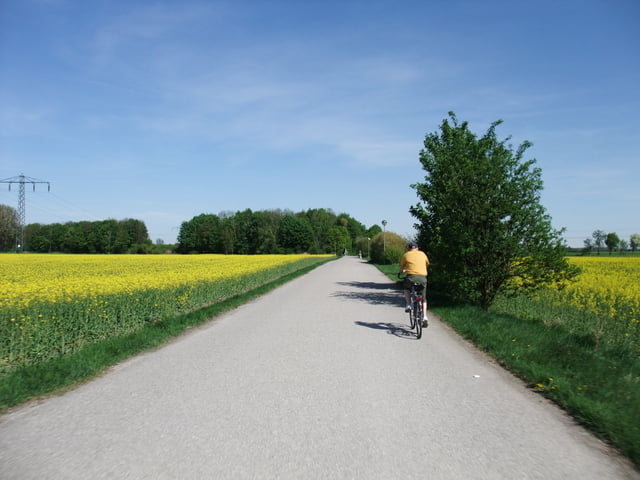
Nette Tour vom Regensburger Umland in die Landeshauptstadt

Bis Pfeffenhausen führt die Strecke teils auf parallelen Wegen zu breiten, aber wenig befahrenen Staatsstraßen entlang der Laaber. Ab Moosinning wird es dann flacher und noch schöner, weil auf kleinen Straßen fahrend am Speichersee entlang von Norden nach München hineinführend.

Tour gallery

Tour map and elevation profile

  • Open Street Map
  • Google
Minimum height 343 m Maximum height 518 m Detailed view

More about the tour author

britger
Member since 2008

Send private message

Comments

Start ist Bahnhof Gundelshausen bei Regensburg, Ziel ist der Hirschgarten in München

GPS tracks

Trackpoints
  • GPX / Garmin Map Source (gpx) download
  • TCX / Garmin Training Center® (tcx) download
  • CRS / Garmin Training Center® (crs) download
  • Google Earth (kml) download
  • G7ToWin (g7t) download
  • TTQV (trk) download
  • Overlay (ovl) download
  • Fugawi (txt) download
  • Kompass (DAV) Track (tk) download
  • Track data sheet (pdf) download
  • Original file of the author (gpx) download

More about the tour author

britger
Member since 2008

Send private message
Share track
Add to my favorites
Remove from my favorites
Edit tags
My score
Rate
Track: Von Regensburg/Gundelshausen nach München/Hirschgarten
Type: Road biking
Distance: 130,5 km
Evaluated on:
Duration:
Day(s)
Hour(s)
Minute(s)
Score: Landscape Fun factor Fitness Technique