Login

Forgot your login?

Cookies have to be accepted!
Your browser's cookie functionality is disabled. Please enable this functionality.

Not a member yet?

Register now
Login

Available for registred users only

Log in to use this feature.

Forgot your login?

Cookies have to be accepted!
Your browser's cookie functionality is disabled. Please enable this functionality.

Not a member yet?

Register now
Filter
Categories
Advanced filters
  • Distance (km)
  • Height
Save filters Reset filter

TrackRank

QRCode

Technical data

Distance33,8 km Height116 m Way down149 m Duration01:40 h:m Date09.05.2009
Scores Author Landscape Fun factor Fitness Technique

Statistics

949 Views 1 Score 188 Downloads 5.00 Average
Rate
  • Track data sheet
  • Directions
  • Downloads
Sehr schöne Tour. Fast immer am Wasser entlang.

Tour map and elevation profile

  • Open Street Map
  • Google
Minimum height 19 m Maximum height 69 m Detailed view

More about the tour author

sappok
Member since 2007

Send private message

Comments

GuenterM on 21.08.2011

4Flüsse Tour

Wirklich schöne Tour. Danke

Günter

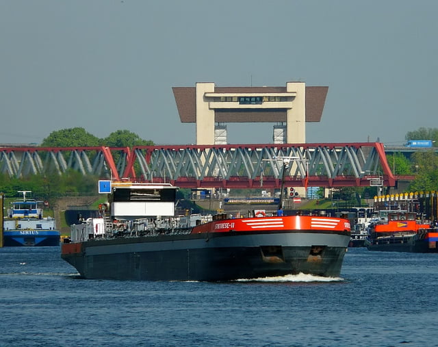
Bin in Ruhrort gestartet.

Tour kann aber überall eingestiegen werden.

GPS tracks

Trackpoints
  • GPX / Garmin Map Source (gpx) download
  • TCX / Garmin Training Center® (tcx) download
  • CRS / Garmin Training Center® (crs) download
  • Google Earth (kml) download
  • G7ToWin (g7t) download
  • TTQV (trk) download
  • Overlay (ovl) download
  • Fugawi (txt) download
  • Kompass (DAV) Track (tk) download
  • Track data sheet (pdf) download
  • Original file of the author (gpx) download

More about the tour author

sappok
Member since 2007

Send private message
Share track
Add to my favorites
Remove from my favorites
Edit tags
My score
Rate
Track: Duisburg / Oberhausen 4 Fluesse Tour < Rhein, Emscher, R/H-Kanal, Ruhr>
Type: Bicycle tours
Distance: 33,8 km
Evaluated on:
Duration:
Day(s)
Hour(s)
Minute(s)
Score: Landscape Fun factor Fitness Technique