


Traunreiterweg
Gasthaus Kohlwehr - Gmunden
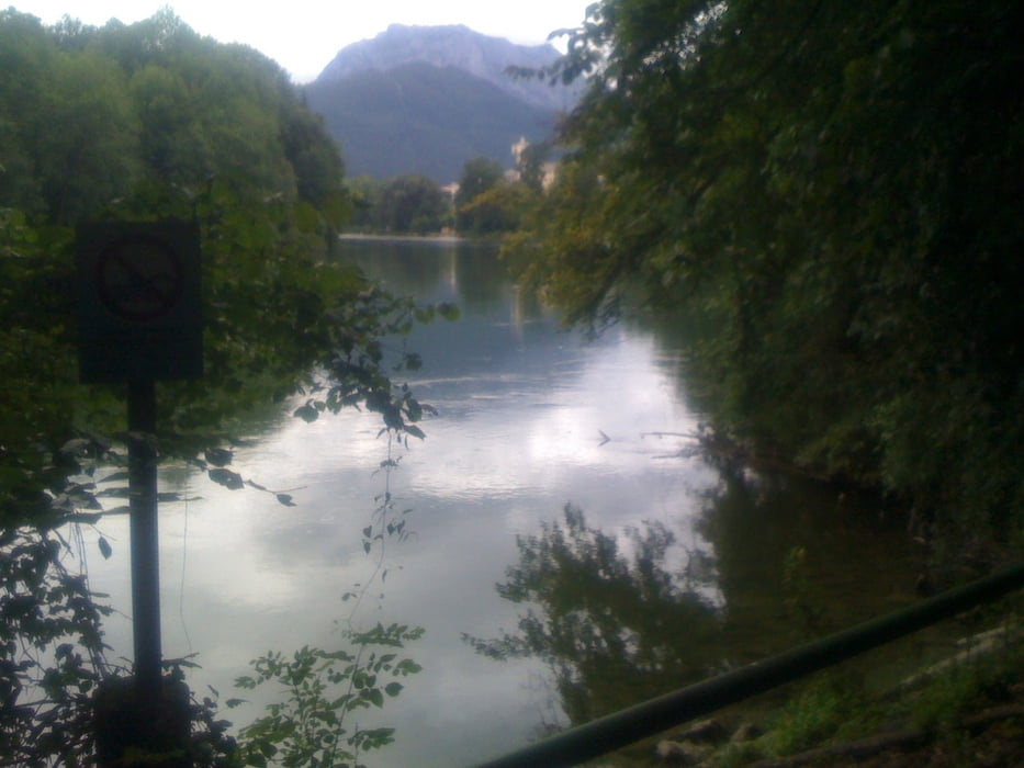
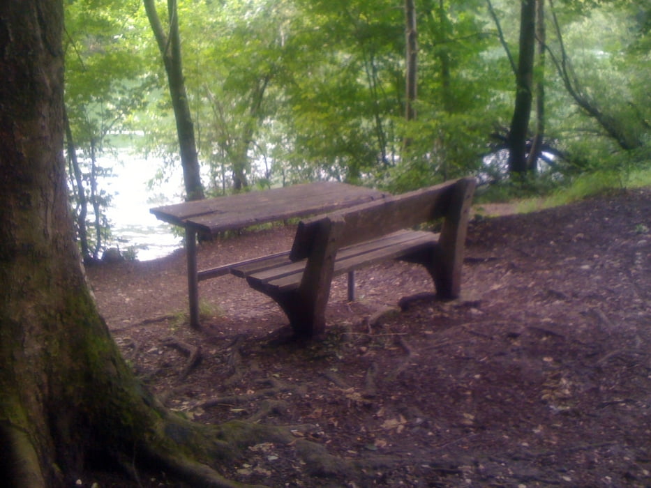
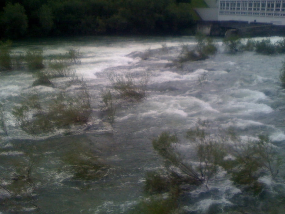
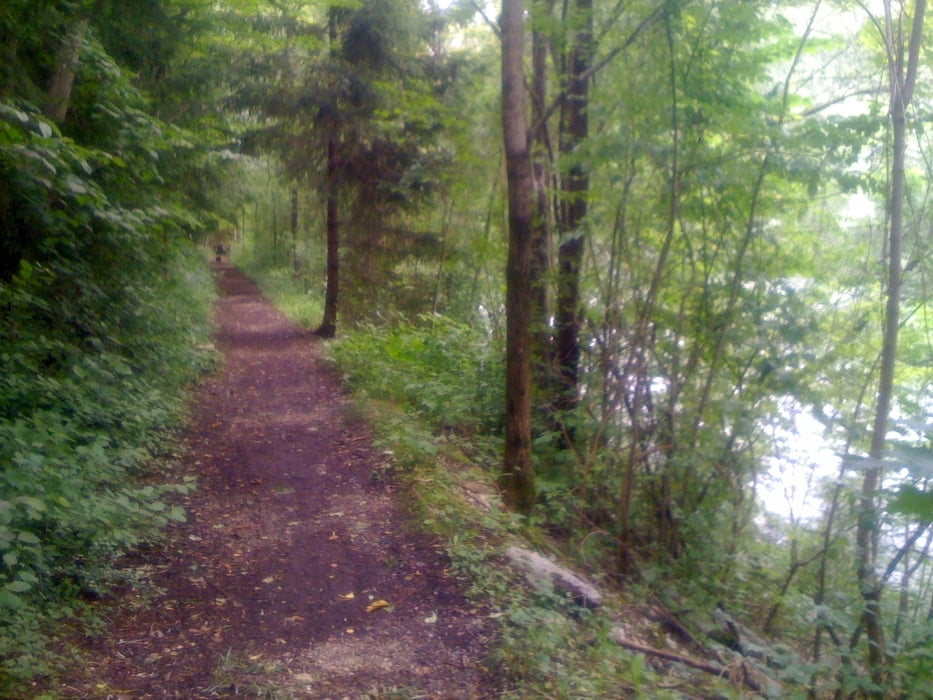
Sehr schöne idyllische Tour immer am Flußufer entlang der Traun. Der sehr nett angelegte Weg verläuft großteils im Schatten, auf Forst- und Karrenwegen. Erst gegen Ende ist er asphaltiert, bleibt aber trotzdem ein Wanderweg. Man kommt in Gmunden bei der Traunbrücke (schon fast im Herzen von Gmunden ....) heraus.
Tour gallery
Tour map and elevation profile
Minimum height 381 m
Maximum height 408 m
More about the tour author

|
Nostradamus113 |
Comments

Autobahnabfahrt Steyrermühl - Richtung Ohlsdorf und sofort nach der Brücke links Richtung Kohlwehr abbiegen. Nach ca. 1500 M Gasthof Kohlwehr - Start.
GPS tracks
Trackpoints-
GPX / Garmin Map Source (gpx) download
-
TCX / Garmin Training Center® (tcx) download
-
CRS / Garmin Training Center® (crs) download
-
Google Earth (kml) download
-
G7ToWin (g7t) download
-
TTQV (trk) download
-
Overlay (ovl) download
-
Fugawi (txt) download
-
Kompass (DAV) Track (tk) download
-
Track data sheet (pdf) download
-
Original file of the author (gpx) download
More about the tour author
|
|
Nostradamus113 |
Add to my favorites
Remove from my favorites
Edit tags
Open track
My score
Rate