


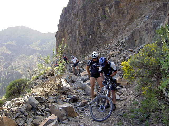
Gipfeltour
Donnerstag, 9.30 - 17.00, reine Fahrzeit ca. 4h
Level 2-3, 65 km, 750 hm auf, 2200 hm
Warmfahren am Berg - der höchste Punkt der Insel – ruppige Pisten und asphaltierte Nebenstraßen - wilde Schluchten - kernige Uphills - rasante Abfahrten – Pinienwälder - ideal für konditionell anspruchsvolle Biker!
Further information at
http://www.free-motion.net/fm/de/tours.phpTour gallery
Tour map and elevation profile
Minimum height 20 m
Maximum height 1947 m
More about the tour author

|
winklem |
Comments
Start am Free Motion Center in der Avda. de Alfereces Provisionales
GPS tracks
Trackpoints-
GPX / Garmin Map Source (gpx) download
-
TCX / Garmin Training Center® (tcx) download
-
CRS / Garmin Training Center® (crs) download
-
Google Earth (kml) download
-
G7ToWin (g7t) download
-
TTQV (trk) download
-
Overlay (ovl) download
-
Fugawi (txt) download
-
Kompass (DAV) Track (tk) download
-
Track data sheet (pdf) download
-
Original file of the author (g7t) download
More about the tour author
|
|
winklem |
Add to my favorites
Remove from my favorites
Edit tags
Open track
My score
Rate
Feine Sache
Schöne Tour