

Einfache Rundtour von München durch die Pupplinger Au nach Ascholding.
Die Strecke Pupplinger Au - Ascholding wird leider stark von Autos befahren. Der Rest der Strecke ist entweder sehr verkehrsarm oder verläuft auf Feldwegen.
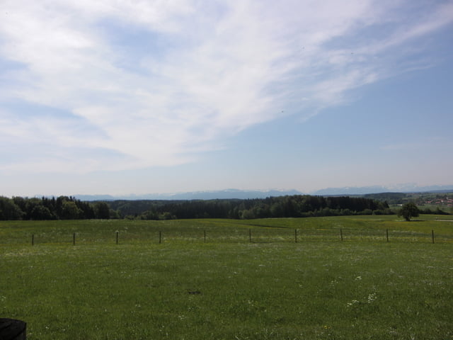
Von der Ludwigshöhe kann man eine tolle Aussicht auf das Bergpanorama geniessen. Hier hat man jedoch erst einen Mittleren Anstieg zu meistern.
Auf der Route liegen einige Biergärten: Mühltal an der Floßrutsche, Haupt in Sendling.
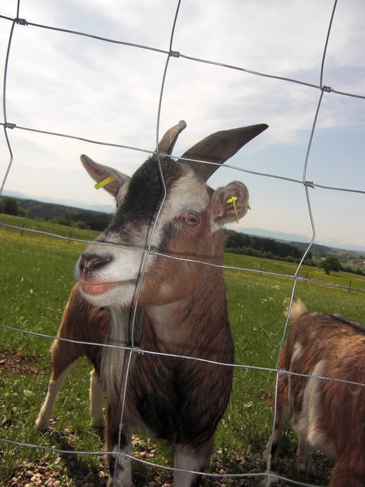
Tour gallery
Tour map and elevation profile
Minimum height 505 m
Maximum height 680 m
More about the tour author
|
|
cami |
Comments

GPS tracks
Trackpoints-
GPX / Garmin Map Source (gpx) download
-
TCX / Garmin Training Center® (tcx) download
-
CRS / Garmin Training Center® (crs) download
-
Google Earth (kml) download
-
G7ToWin (g7t) download
-
TTQV (trk) download
-
Overlay (ovl) download
-
Fugawi (txt) download
-
Kompass (DAV) Track (tk) download
-
Track data sheet (pdf) download
-
Original file of the author (gpx) download
More about the tour author
|
|
cami |
Add to my favorites
Remove from my favorites
Edit tags
Open track
My score
Rate