


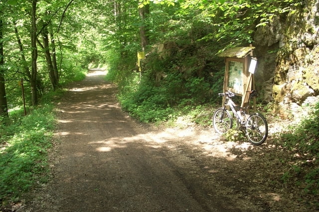
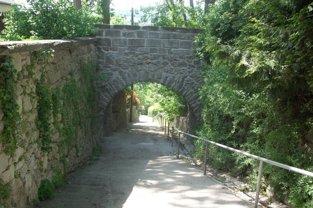
Die Tour beginnt in Zwettl. Zunächst fährt man auf Asphalt, aber nach ca.2 km ist man im Gelände und im Wald. Es geht bei der Burg Lobenstein vorbei Richtung Geng, dann durch den Sulzgraben weiter nach Gramastetten und ins schöne Rodltal (landschaftlich sehr schön). In Rottenegg überquert man die Bundesstraße und es geht weiter nach Ottensheim - Puchenau -Linz. In Puchenau sind Holzschilder "Radfahren verboten" aufgestellt. Es sind eben nur Holzschilder und keine Verkehrszeichen. Von Ottensheim bis Linz fährt man auf einem schönen schmalen Treppelweg zwischen der Eisenbahn und Donau. Ab Linz-Magdalena geht es wieder bergwärts mit sehr steilen Passagen. Man hat einen schönen Ausblick über Linz. Die Strecke Linz - Hellmonsödt ist eine sehr beliebte Mountainbike-Strecke und ab Hellmonsödt geht es fast nur mehr bergab Richtung Zwettl-Marktplatz zum Ausgangspunkt der Tour.
Tour gallery


Tour map and elevation profile
Minimum height 251 m
Maximum height 836 m
More about the tour author

|
LettnerChris |
Comments

Ab Linz auf der B126 Richtung Norden bis Zwettl-Marktplatz möglichkeit zum Auto parken.
GPS tracks
Trackpoints-
GPX / Garmin Map Source (gpx) download
-
TCX / Garmin Training Center® (tcx) download
-
CRS / Garmin Training Center® (crs) download
-
Google Earth (kml) download
-
G7ToWin (g7t) download
-
TTQV (trk) download
-
Overlay (ovl) download
-
Fugawi (txt) download
-
Kompass (DAV) Track (tk) download
-
Track data sheet (pdf) download
-
Original file of the author (gpx) download
More about the tour author
|
|
LettnerChris |
Add to my favorites
Remove from my favorites
Edit tags
Open track
My score
Rate