


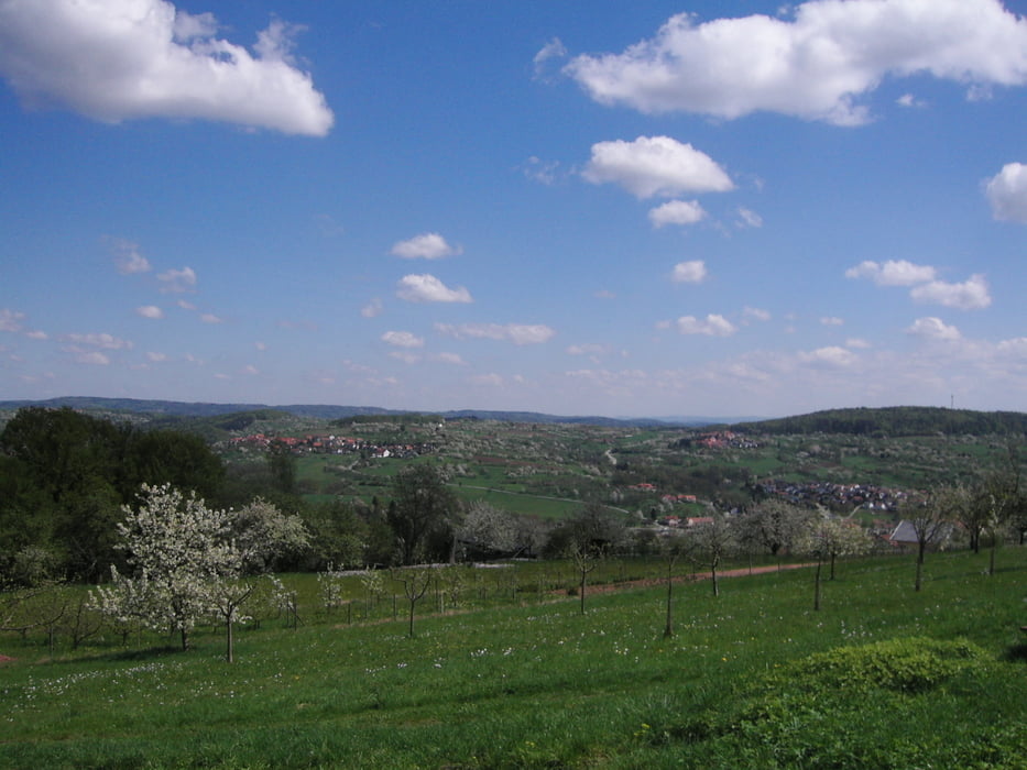
Mountainbiketour durch den Westlichen Schwäbischen Wald,
unmittelbar neben der Großstadt Stuttgart auf die man bei dieser Tour einen schönen Ausblick genießen kann.
Dies Tour bietet tolle Aussichtpunkte und Streckenabschnitte.
Wer diese Tour nicht alleine fahren möchte, kann sich bei mir gerne melden oder einfach nach den Terminen für diese oder andere Touren auf meiner Hompage informieren.
Viel Spaß beim biken wünscht
Alex
Further information at
http://www.naradtur.deTour gallery
Tour map and elevation profile
Minimum height 253 m
Maximum height 574 m
More about the tour author
|
|
naradtur |
Comments

GPS tracks
Trackpoints-
GPX / Garmin Map Source (gpx) download
-
TCX / Garmin Training Center® (tcx) download
-
CRS / Garmin Training Center® (crs) download
-
Google Earth (kml) download
-
G7ToWin (g7t) download
-
TTQV (trk) download
-
Overlay (ovl) download
-
Fugawi (txt) download
-
Kompass (DAV) Track (tk) download
-
Track data sheet (pdf) download
-
Original file of the author (gpx) download
More about the tour author
|
|
naradtur |
Add to my favorites
Remove from my favorites
Edit tags
Open track
My score
Rate