


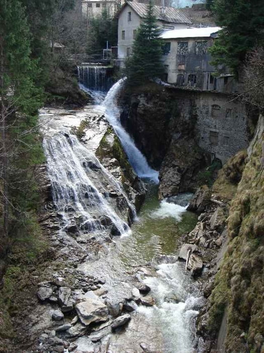
24.04.06 – Start und Ziel ist die Stubnerkogelbahn hinter dem Bahnhof von Bad Gastein. Dann dreht man drei schnelle Runden (Stubnerkogelstr., Kötschachtalstr., Reitlpromenade, um die Kirche herum, Wasserfall, Kaiser Franz Josef Str., Karl Heinrich Waggerl Str. und Grillparzerstr.) zum aufwärmen. Nach sechs Runden hat man einige Höhenmeter gesammelt und ein tolles Training hinter sich!
Further information at
http://www.gastein.comTour gallery
Tour map and elevation profile
Minimum height 1002 m
Maximum height 1105 m
More about the tour author
|
|
exitus |
Comments

Autobahn A10 (von Salzburg oder Villach kommend) abfahrt Bischofshofen, weiter auf der B311 bis kurz vor Lend - abbiegen auf die B167 nach Bad Gastein (Plz 5640).
GPS tracks
Trackpoints-
GPX / Garmin Map Source (gpx) download
-
TCX / Garmin Training Center® (tcx) download
-
CRS / Garmin Training Center® (crs) download
-
Google Earth (kml) download
-
G7ToWin (g7t) download
-
TTQV (trk) download
-
Overlay (ovl) download
-
Fugawi (txt) download
-
Kompass (DAV) Track (tk) download
-
Track data sheet (pdf) download
-
Original file of the author (gpx) download
More about the tour author
|
|
exitus |
Add to my favorites
Remove from my favorites
Edit tags
Open track
My score
Rate