


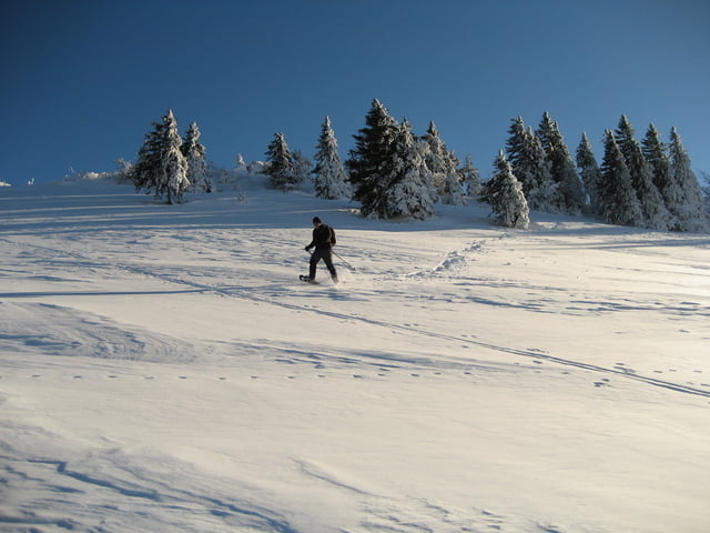
Über herrlich offenes Gelände auf den Chasseral
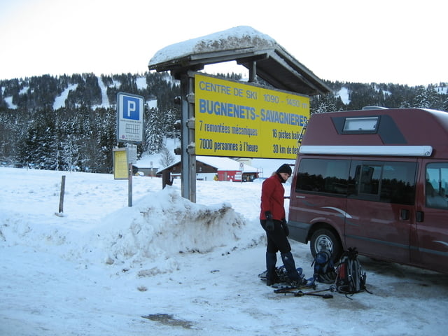
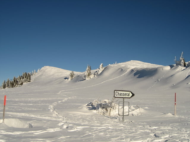
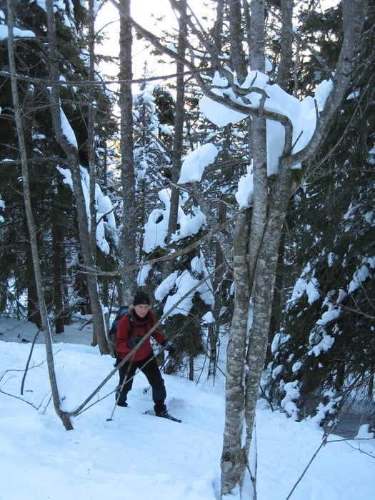
In Savangiere bei den Skiliften ist ein großer Parkplatz. Von hier zunächst in nordöstliche Richtung bis Metairie des Planes (1.298 m). Dann rechts steil durch ein Wäldchen aufsteigen. Wenn man den Sattel erreicht hat ist das Gelände offen und der Weg zum Gipfel (1.607 m) nicht mehr zu verfehlen.
Von Chasseral hat man eine tolle Aussicht in alle Richtungen. Der Fernsehturm ist allerdings der hässlichste, den ich je gesehen habe....
Das Hotel auf den Chasseral hat ganzjährig geöffnet.
Tip für die Heimfahrt: Nach St. Imier in Richtung Biel befindet sich in Cormoret direkt an der Hauptstraße auf der linken Seite der Werksverkauf einer Schokoladenfabrik!!!!
Jörn Koberne
Tour gallery
Tour map and elevation profile
Minimum height 1126 m
Maximum height 1613 m
More about the tour author
|
|
Kobi |
Comments

Von Biel über St. Imier nach Savangiere (1.130 m)
GPS tracks
Trackpoints-
GPX / Garmin Map Source (gpx) download
-
TCX / Garmin Training Center® (tcx) download
-
CRS / Garmin Training Center® (crs) download
-
Google Earth (kml) download
-
G7ToWin (g7t) download
-
TTQV (trk) download
-
Overlay (ovl) download
-
Fugawi (txt) download
-
Kompass (DAV) Track (tk) download
-
Track data sheet (pdf) download
-
Original file of the author (gpx) download
More about the tour author
|
|
Kobi |
Add to my favorites
Remove from my favorites
Edit tags
Open track
My score
Rate