


MTB to Bjärka Säby
This route partly follows Östgötaleden - a walking trail network through Östergötland. For more information about Östgötaleden, see www.ostgotaleden.se/Default.asp
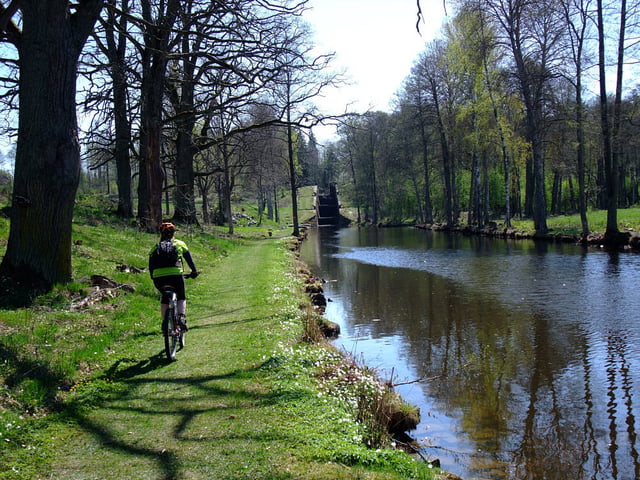
The route runs along paths ands small roads through the most extensive oak landscape in northern Europe. The trail passes scenic pastures, gnarled oaks, locks on Kinda Canal at Hamra and Hovetrop. At the Marina in Hovetrop is a tap for drinking water.
Information about Kinda Canal, see www.ostergotland.info/Themes2.aspx
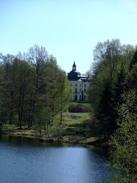
A nice café is found at the castle Bjärka Säby. The castle café offers light lunches, sandwiches, and and cakes of all sorts. Most of them are home made. For more information and opening hours, see slottskafeet.blogspot.se/ Sorry, just in swedish.
Further information at
http://www.ostgotaleden.se/Default.asp?tmpLanguageID=2Tour gallery


Tour map and elevation profile
Minimum height 53 m
Maximum height 113 m
More about the tour author
|
|
Eva |
Comments

Start and finish in Sturefors.
It's also possible to start and finish at the castle Bjärka Säby.
GPS tracks
Trackpoints-
GPX / Garmin Map Source (gpx) download
-
TCX / Garmin Training Center® (tcx) download
-
CRS / Garmin Training Center® (crs) download
-
Google Earth (kml) download
-
G7ToWin (g7t) download
-
TTQV (trk) download
-
Overlay (ovl) download
-
Fugawi (txt) download
-
Kompass (DAV) Track (tk) download
-
Track data sheet (pdf) download
-
Original file of the author (gpx) download
More about the tour author
|
|
Eva |
Add to my favorites
Remove from my favorites
Edit tags
Open track
My score
Rate