Login

Forgot your login?

Cookies have to be accepted!
Your browser's cookie functionality is disabled. Please enable this functionality.

Not a member yet?

Register now
Login

Available for registred users only

Log in to use this feature.

Forgot your login?

Cookies have to be accepted!
Your browser's cookie functionality is disabled. Please enable this functionality.

Not a member yet?

Register now
Filter
Categories
Advanced filters
  • Distance (km)
  • Height
Save filters Reset filter

TrackRank

QRCode

Technical data

Distance34,4 km Height520 m Way down520 m Duration00:00 h:m Date17.05.2009
Scores Author Landscape Fun factor Fitness Technique

Statistics

794 Views Scores 120 Downloads Average
Rate
  • Track data sheet
  • Directions
  • Downloads
Die Rundtour beginnt am Wertstoffhof in Konradshofen und führt hauptsächlich auf Nebenstraßen und Feld- und Waldwegen durch den südlichsten Teil des Naturparks "Augsburg Westliche Wälder".

Further information at

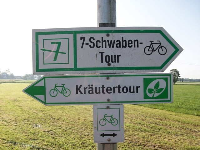
http://www.kraeuterregion-stauden.de/kraeutertour/

Tour gallery

Tour map and elevation profile

  • Open Street Map
  • Google
Minimum height 526 m Maximum height 656 m Detailed view

More about the tour author

Staudenbiker
Member since 2009

Send private message

Comments

GPS tracks

Trackpoints
  • GPX / Garmin Map Source (gpx) download
  • TCX / Garmin Training Center® (tcx) download
  • CRS / Garmin Training Center® (crs) download
  • Google Earth (kml) download
  • G7ToWin (g7t) download
  • TTQV (trk) download
  • Overlay (ovl) download
  • Fugawi (txt) download
  • Kompass (DAV) Track (tk) download
  • Track data sheet (pdf) download
  • Original file of the author (gpx) download

More about the tour author

Staudenbiker
Member since 2009

Send private message
Share track
Add to my favorites
Remove from my favorites
Edit tags
My score
Rate
Track: Kräutertour südl. Runde
Type: Bicycle tours
Distance: 34,4 km
Evaluated on:
Duration:
Day(s)
Hour(s)
Minute(s)
Score: Landscape Fun factor Fitness Technique