


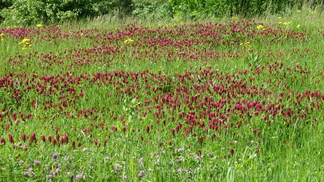
Schöne Tour abseits des Trubels am Bodensee. Von Leimbach bei Markdorf geht es zuerst gemütlich über Bermatingen nach Lellwangen. Dort kommt ein knackiger Aufstieg, mein HAC4 zeigte über 30% an. An der Hangkante dann -etwas versteckt- eine Bank mit phantastischem Ausblick.
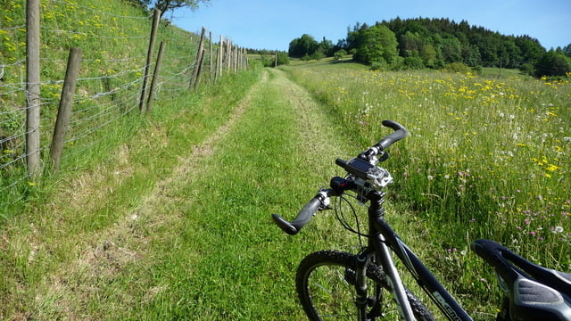
Etwas gemütlicher geht es dann weiter immer oberhalb des Tales, dass wir in Oberboshasel queren. Auf der anderen Seite dann zurück und auf einer Kreisstrasse bis zum Höchsten. Dort gibt es einen netten Kiosk, ideal zum Rasten. Zwei Bratwürste mit Brot 2.70€, wo gibt es das noch :-)
Dann geht es weiter übers Benistobel, immer der Rotach entlang, bis Urnau und zurück nach Leimbach.
Further information at
http://www.markdorf.deTour gallery
Tour map and elevation profile
Minimum height 416 m
Maximum height 829 m
More about the tour author

|
bodenseeler |
Comments

Parken beim Rathaus in Leimbach am Feuerwehrplatz.
GPS tracks
Trackpoints-
GPX / Garmin Map Source (gpx) download
-
TCX / Garmin Training Center® (tcx) download
-
CRS / Garmin Training Center® (crs) download
-
Google Earth (kml) download
-
G7ToWin (g7t) download
-
TTQV (trk) download
-
Overlay (ovl) download
-
Fugawi (txt) download
-
Kompass (DAV) Track (tk) download
-
Track data sheet (pdf) download
-
Original file of the author (gpx) download
More about the tour author
|
|
bodenseeler |
Add to my favorites
Remove from my favorites
Edit tags
Open track
My score
Rate