


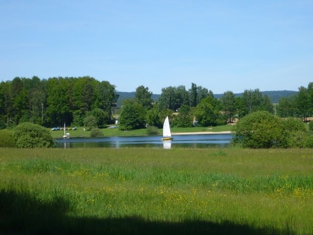
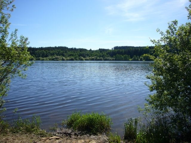
Sehr schöner neu angelegter Rundweg um den Silbersee, mit herrlichen Panorama; in der Ferne ist auch der Cerchov zu erkennen.
Start der Tour ist der Parkplatz am Kraftwerk am Südende des Sees. Über meist gut ausgebaute Pfade geht es bis zum Nordende des Sees, wo die bayerische Schwarzach in den See mündet. Zurück vorbei am Segelclub und wieder zum Parkplatz.
Tour gallery

Tour map and elevation profile
Minimum height 439 m
Maximum height 451 m
More about the tour author

|
grenz-pfad-fahrer |
Comments

Anfahrt von Waldmünchen über Ast, Hirschhof, Biberbach durch Witzelsmühle zum Parkplatz am Südende des Sees.
GPS tracks
Trackpoints-
GPX / Garmin Map Source (gpx) download
-
TCX / Garmin Training Center® (tcx) download
-
CRS / Garmin Training Center® (crs) download
-
Google Earth (kml) download
-
G7ToWin (g7t) download
-
TTQV (trk) download
-
Overlay (ovl) download
-
Fugawi (txt) download
-
Kompass (DAV) Track (tk) download
-
Track data sheet (pdf) download
-
Original file of the author (gpx) download
More about the tour author
|
|
grenz-pfad-fahrer |
Add to my favorites
Remove from my favorites
Edit tags
Open track
My score
Rate