


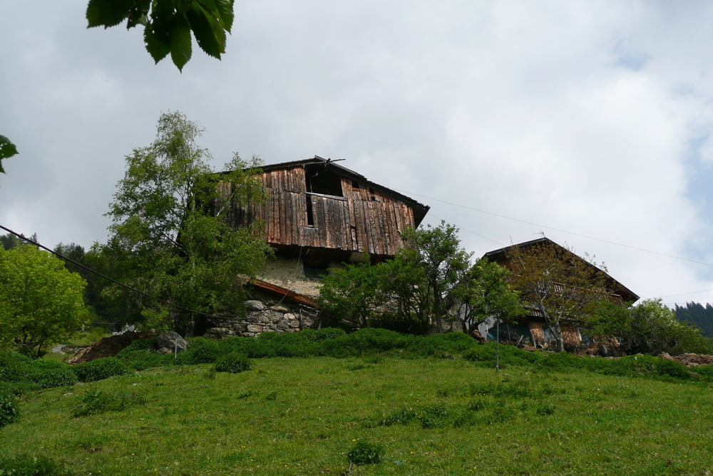
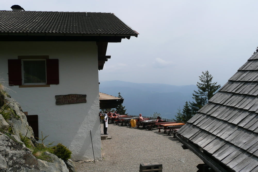
Von der Info im Dorf Tirol geht es zunächst bis zum schön gelegenen Schloss Tirol. Von dort aus beginnt dann der Anstieg. Zunächst bis zum Farmerkreuz und anschließend weiter bis zu den Muthöfen. Schnell beim Talbauer 'ne Schorle eingeworfen und dann die letzten Höhenmeter bis zum Gasthof Mutkopf auf 1.684 mtr. Sowohl der Talbauer als auch der Gasthof Mutkopf sind für eine Rast sehr zu empfehlen. Vom Mutkopf aus kann man dann weiter gehen bis zur Mutspitz. Da ich spät drann war und Gewitter angekündigt waren bin ich aber nur bis auf 1.800 mtr. aufgestiegen und dann umgedreht in Richtung Bergstation Hochmuth. Mit der Bahn ging es dann zurück ins Tal zum Ausgangspunkt.
Ihr könnt die Tour am besten entweder an der Talstation der Hochmuthbahn oder an der Info von Dorf Tirol starten. Ich wünsche Euch viel Spaß beim nachwandern.
Further information at
http://www.seilbahn-hochmuth.it/Tour gallery
Tour map and elevation profile
Minimum height 574 m
Maximum height 1815 m
More about the tour author
|
|
Captain |
Comments

Gestartet bin ich an der Info im Dorf Tirol. Dort befindet sich ein großer Parkplatz.
Der Track startet allerdings an der Talstation der Seilbahn wo sich auch ein großer Parkplatz befindet.
GPS tracks
Trackpoints-
GPX / Garmin Map Source (gpx) download
-
TCX / Garmin Training Center® (tcx) download
-
CRS / Garmin Training Center® (crs) download
-
Google Earth (kml) download
-
G7ToWin (g7t) download
-
TTQV (trk) download
-
Overlay (ovl) download
-
Fugawi (txt) download
-
Kompass (DAV) Track (tk) download
-
Track data sheet (pdf) download
-
Original file of the author (gpx) download
More about the tour author
|
|
Captain |
Add to my favorites
Remove from my favorites
Edit tags
Open track
My score
Rate