
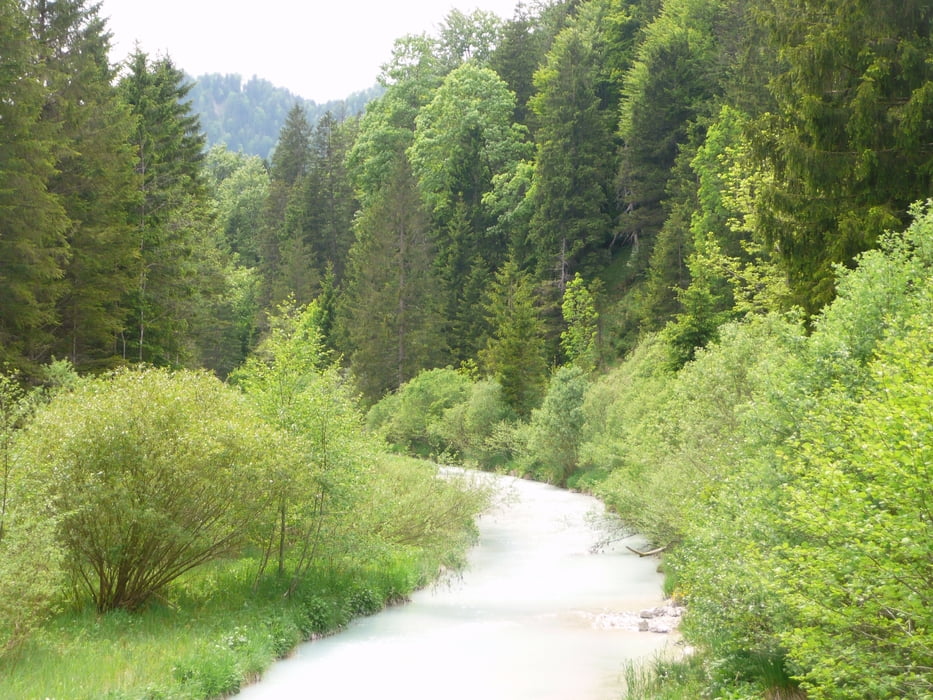

Vom Parkplatz in Einsiedel am Walchensee geht es durchs wunderschöne Eschenleinetal mit kleinen Anstiegen bis Eschenlohe, von dort entlang der Loisach an Farachant vorbei bis Garmisch-Partenkirchen. Kurz vor dem Zentrum geht es links hinauf den einzigen ernsthafteren Anstieg bis Wallgau. Von dort locker zurück bis zum Startpunkt der Tour. Wenn Stau vor am Ende der A95 einfach in Eschenlohe rausfahren und die Rundtour von dort aus fahren. Schöne, nicht sehr schwere Tour, ideal für das Frühjahrstraining
Further information at
http://www.mountainbike-in-bayern.deTour gallery

Tour map and elevation profile
Minimum height 641 m
Maximum height 1236 m
More about the tour author
|
|
PegasusEeagel |
Comments
GPS tracks
Trackpoints-
GPX / Garmin Map Source (gpx) download
-
TCX / Garmin Training Center® (tcx) download
-
CRS / Garmin Training Center® (crs) download
-
Google Earth (kml) download
-
G7ToWin (g7t) download
-
TTQV (trk) download
-
Overlay (ovl) download
-
Fugawi (txt) download
-
Kompass (DAV) Track (tk) download
-
Track data sheet (pdf) download
-
Original file of the author (gpx) download
More about the tour author
|
|
PegasusEeagel |
Add to my favorites
Remove from my favorites
Edit tags
Open track
My score
Rate
Tour in anderer Richtung
Die Tour ist landschaftl. echt schön und größtenteils technisch einfach. Es gibt aber auch ein paar Trails und schöne Abfahrten, die die Tour abwechslungsreich machen.