


Balgheim - Breite Steige - Hirnbühl - Wanderparkplatz - kurz auf Strasse rechts, dann in den Wald links auf Trail - Osterberg - links auf Feldweg am Wanderparkplatz mit Holzkreuz, hinter dem Kreuz ins Tal auf Wiesenweg abfahren (Schemental) - ins Ursental links einbiegen - an Weggabelung rechts bergan fahren - Ruine Kraftstein - Stettener Tal abfahren nach Stetten a.D. - Mühlheim Ri Kolbingen fahren - nach Sägewerk links in den Forstweg abbiegen - nächste Gabelung links - ehem. Burg Walterstein - Schönholz - Allenspacher Hof links liegen lassen - Grauental - Böttingen - Dreifaltigkeitsberg - auf Strasse abfahren nach Rechtskurve mit Funkmasten etwa nach 500 m links in Waldweg (Trail) nach Balgheim einbiegen - Weg abwärts folgen - Balgheim
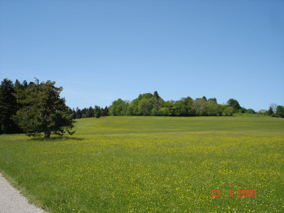
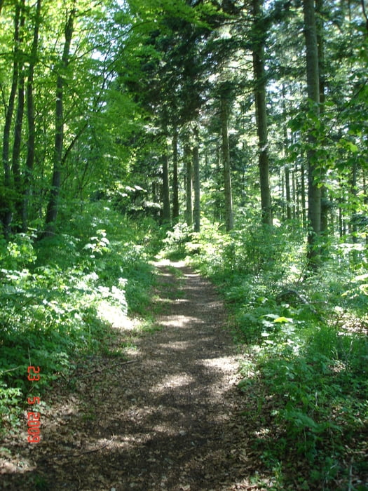
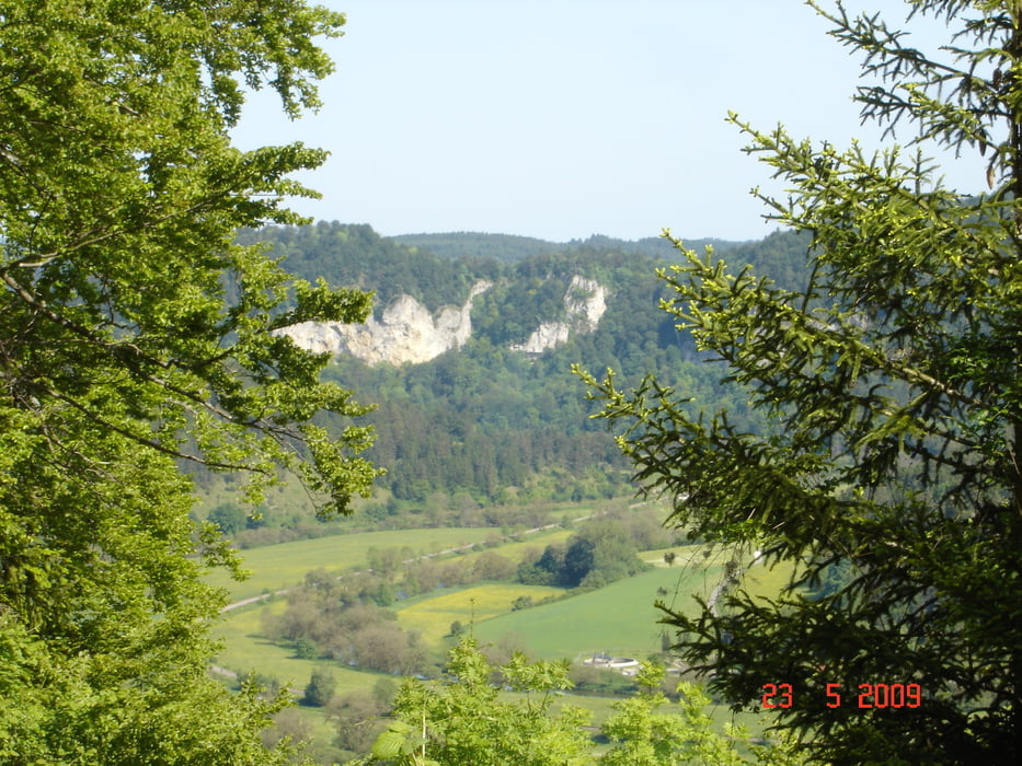
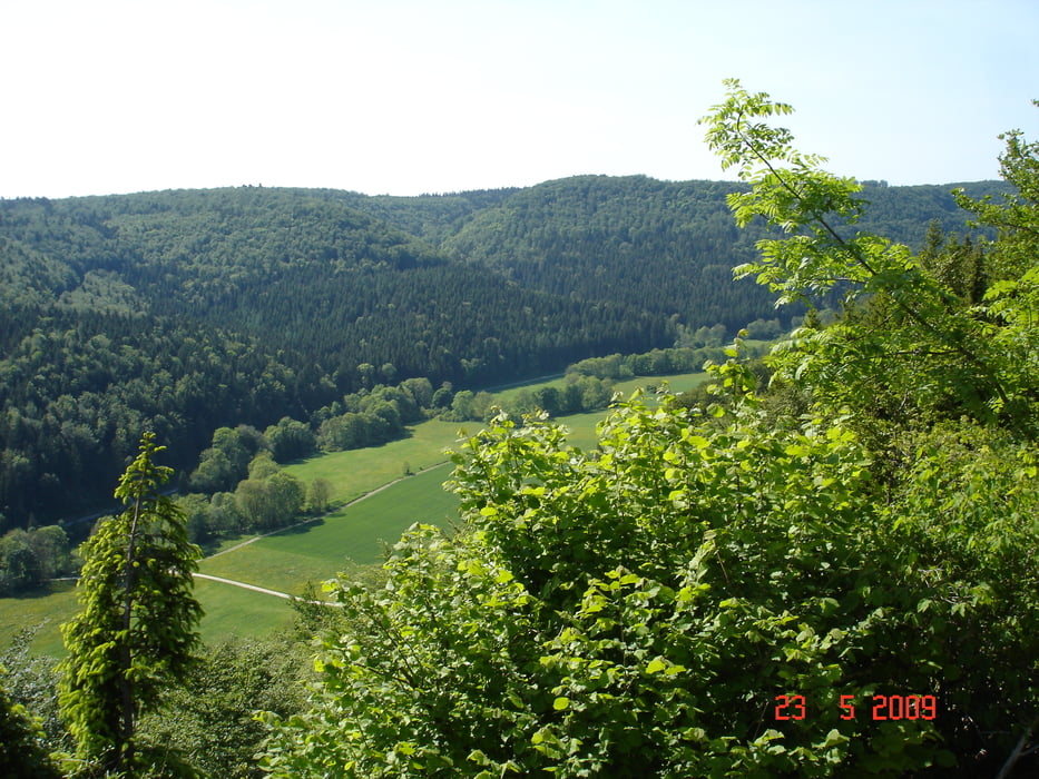
Tour gallery
Tour map and elevation profile
Minimum height 637 m
Maximum height 994 m
More about the tour author

|
JV |
Comments

GPS tracks
Trackpoints-
GPX / Garmin Map Source (gpx) download
-
TCX / Garmin Training Center® (tcx) download
-
CRS / Garmin Training Center® (crs) download
-
Google Earth (kml) download
-
G7ToWin (g7t) download
-
TTQV (trk) download
-
Overlay (ovl) download
-
Fugawi (txt) download
-
Kompass (DAV) Track (tk) download
-
Track data sheet (pdf) download
-
Original file of the author (gpx) download
More about the tour author
|
|
JV |
Add to my favorites
Remove from my favorites
Edit tags
Open track
My score
Rate