Login

Forgot your login?

Cookies have to be accepted!
Your browser's cookie functionality is disabled. Please enable this functionality.

Not a member yet?

Register now
Login

Available for registred users only

Log in to use this feature.

Forgot your login?

Cookies have to be accepted!
Your browser's cookie functionality is disabled. Please enable this functionality.

Not a member yet?

Register now
Filter
Categories
Advanced filters
  • Distance (km)
  • Height
Save filters Reset filter

TrackRank

QRCode

Technical data

Distance48,3 km Height879 m Way down868 m Duration02:40 h:m Date25.05.2009
Scores Author User Landscape Fun factor Fitness Technique

Statistics

466 Views 1 Score 94 Downloads 4.00 Average
Rate
  • Track data sheet
  • Directions
  • Downloads
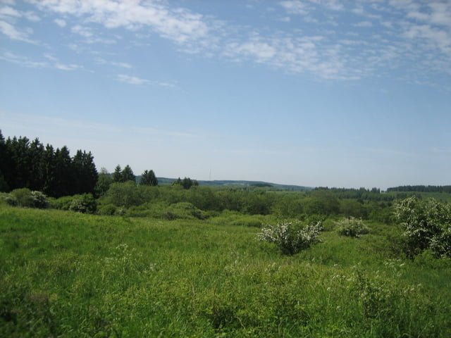
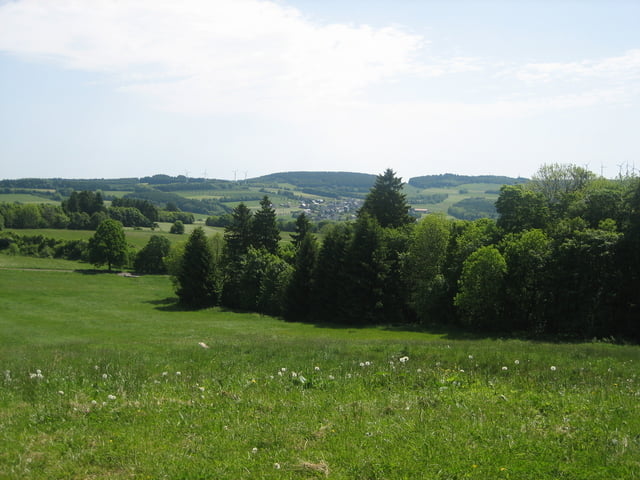
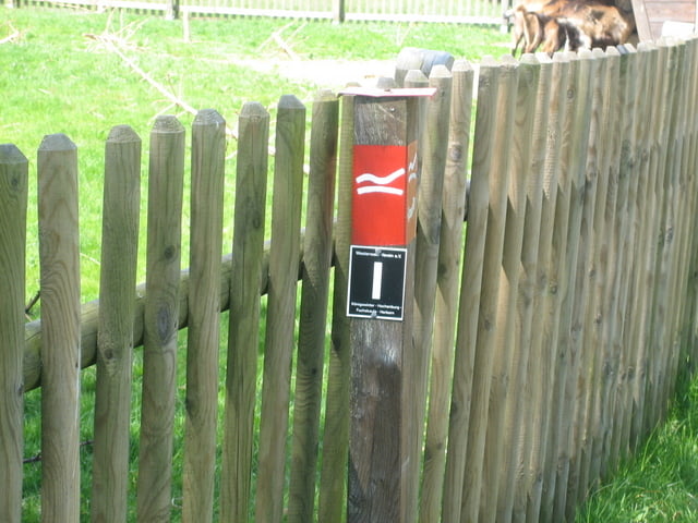
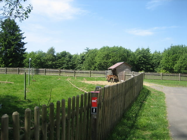
Tour von Weitefeld über Nisterberg(Sperrgebiet) nach Stein Neukirch hoch zum Turm.Dann gehts weiter nach Zehnhausen.Von dort weiter nach Waigandshain an der Firma Fuhrländer vorbei hoch auf die Fuchskaute.Dann gehts vorbei am Siegerland Flughafen(Einkehrstation) wieder zurück nach Weitefeld.

Tour gallery

Tour map and elevation profile

  • Open Street Map
  • Google
Minimum height 448 m Maximum height 660 m Detailed view

More about the tour author

torti40
Member since 2009

Send private message

Comments

GPS tracks

Trackpoints
  • GPX / Garmin Map Source (gpx) download
  • TCX / Garmin Training Center® (tcx) download
  • CRS / Garmin Training Center® (crs) download
  • Google Earth (kml) download
  • G7ToWin (g7t) download
  • TTQV (trk) download
  • Overlay (ovl) download
  • Fugawi (txt) download
  • Kompass (DAV) Track (tk) download
  • Track data sheet (pdf) download
  • Original file of the author (gpx) download

More about the tour author

torti40
Member since 2009

Send private message
Share track
Add to my favorites
Remove from my favorites
Edit tags
My score
Rate
Track: Über die Fuchskaute
Type: Mountain bike
Distance: 48,3 km
Evaluated on:
Duration:
Day(s)
Hour(s)
Minute(s)
Score: Landscape Fun factor Fitness Technique