


Start in Oberkirch an der Bäckerei Geldreich.
Weiter geht es dem Fahrradweg entlang Richtung Ringelbach.Danach links abbiegen zum Tanzberg (Tiergarten).Dort dem Ortenauer Weinpfad folgen zur Fatima Kapelle bis zum Ringelbacher Kreuz.Am Ringelbacher Kreuz gerade aus über die Brücke und weiter zur Schwend (Soldatengräber).Kurz vor den Soldatengräbern rechts abbiegen Richtung Fellauer Hütte.An der Hütte halb links abbiegen,man kommt dann zur Schauenburg dem Wahrzeichen von Oberkirch mit schönem Ausblick auf den Schwarzwald und die Rheinebene.Nach der Burg einem kleinen Weg durch die Reblandschaft folgen Richtung Gaisbach.Vom Ortsteil Gaisbach dann wieder zurück zum Ausgangspunkt der Tour.
Viel Spaß beim Nachfahren !!!
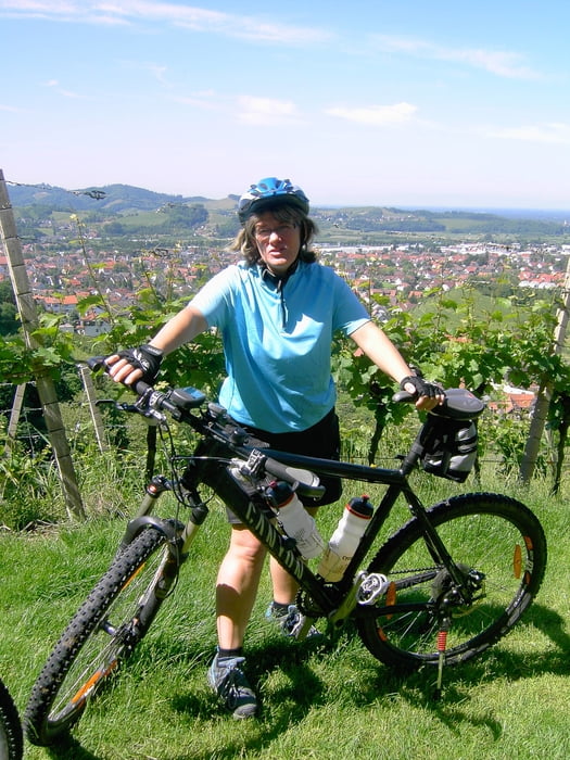
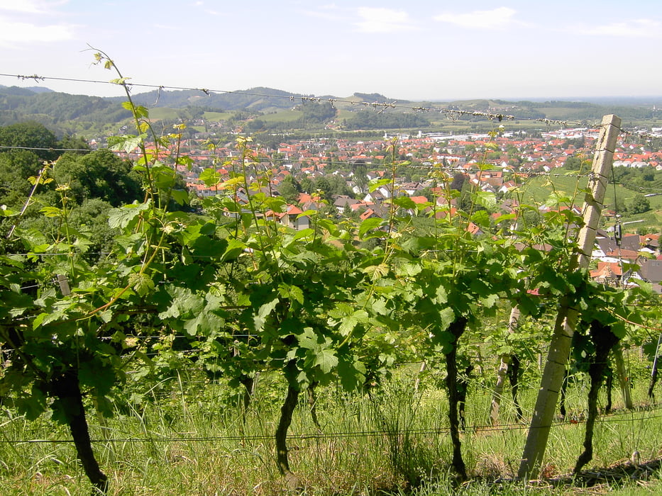
Tour gallery

Tour map and elevation profile
Minimum height 198 m
Maximum height 523 m
More about the tour author
|
|
ambaibiker |
Comments

GPS tracks
Trackpoints-
GPX / Garmin Map Source (gpx) download
-
TCX / Garmin Training Center® (tcx) download
-
CRS / Garmin Training Center® (crs) download
-
Google Earth (kml) download
-
G7ToWin (g7t) download
-
TTQV (trk) download
-
Overlay (ovl) download
-
Fugawi (txt) download
-
Kompass (DAV) Track (tk) download
-
Track data sheet (pdf) download
-
Original file of the author (gpx) download
More about the tour author
|
|
ambaibiker |
Add to my favorites
Remove from my favorites
Edit tags
Open track
My score
Rate