


Die Tour startet vom Parkplatz am Jahnplatz in Waldmünchen. Zunächst über Straße und geteerte Feldwege und schließlich auf Waldwegen und Trails mit einigen "knackigen" Steigungen. Man streift die Ortschaften Grub, Sinzendorf, Obernried, Häuslarn, Rosshof und fährt über Machtesberg zurück nach Waldmünchen.
Dank an die Waldmünchener Radltruppe.
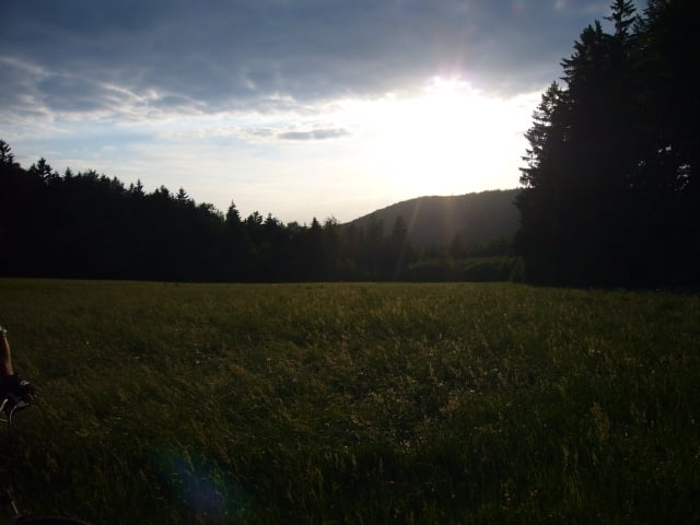
Tour gallery
Tour map and elevation profile
Minimum height 449 m
Maximum height 754 m
More about the tour author

|
grenz-pfad-fahrer |
Comments

Der Jahnplatz (Sportplatz) befindet sich ca. 700 m vom Bahnhof entfernt. Zufahrt erfolgt von der Fabrikstraße und ist ausgeschildert.
GPS tracks
Trackpoints-
GPX / Garmin Map Source (gpx) download
-
TCX / Garmin Training Center® (tcx) download
-
CRS / Garmin Training Center® (crs) download
-
Google Earth (kml) download
-
G7ToWin (g7t) download
-
TTQV (trk) download
-
Overlay (ovl) download
-
Fugawi (txt) download
-
Kompass (DAV) Track (tk) download
-
Track data sheet (pdf) download
-
Original file of the author (gpx) download
More about the tour author
|
|
grenz-pfad-fahrer |
Add to my favorites
Remove from my favorites
Edit tags
Open track
My score
Rate