


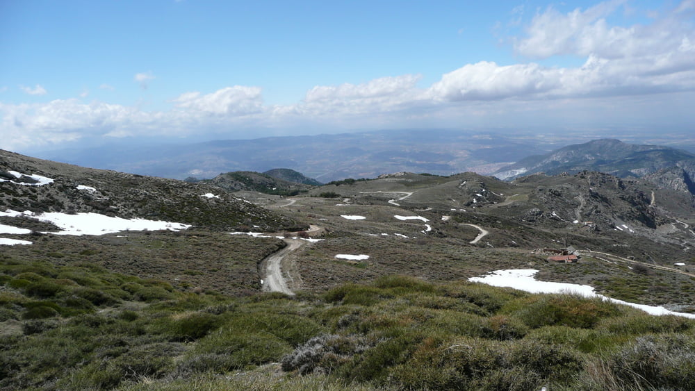
Today we wanted to go up over 2000m to take advantage of the view so we set off along the path above the Rio Torrente and then followed it back up to 1700m as we did on day 3 but where the Camino de la Dehesa splits from Camino del Espinar we turned right and followed the Camino de la Dehesa up to 2179m at Sendero Sulayr. This was a climb of exactly 1200m non-stop and I think that it is the most we have ever done in one run and brought us up into the remaining snow from the winter.
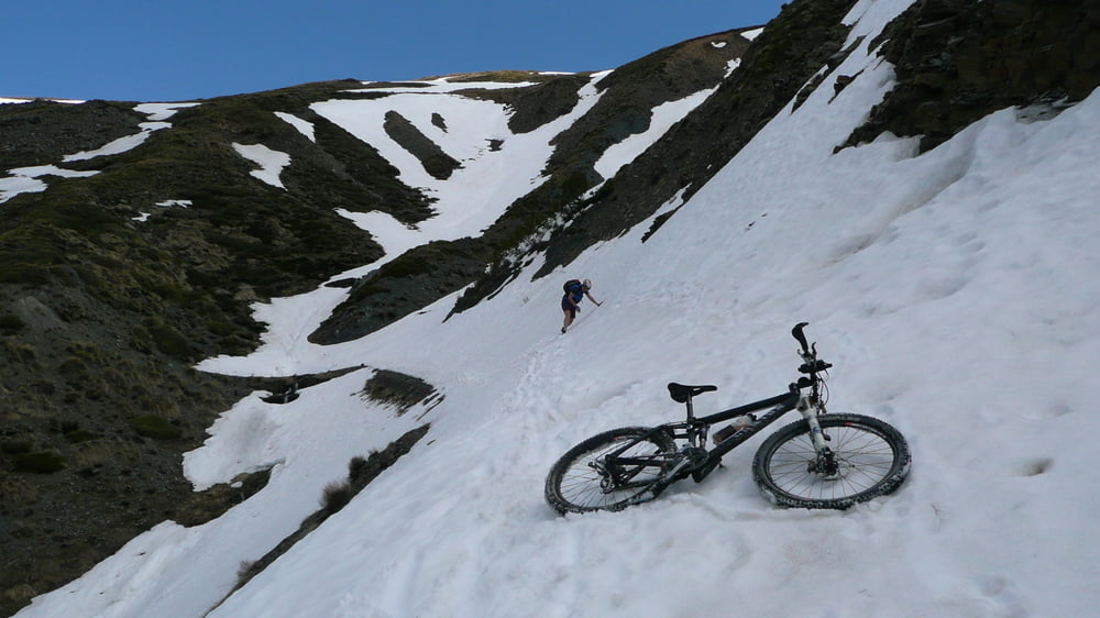
We continued round the Camino de la Dehesa and we could already see that places on the route were still covered by the snow slopes. The snow was hard and a bit wet but gave enough grip to traverse so we decided not to turn back but to continue our planned route. We had passed the highest point so the snow problem would become less as we descended. We had problems to traverse Baranco Prados de Isidoro and Baranco Prado Largo but once we had passed Cortijo la Umbria the way was clear for our descent.
At 1900m we were out of the snow and came back to the first signs of life in Cortijo del Carrero where some of the houses were occupied.
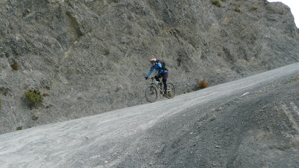
We followed the Camino de la Dehesa all the steep way down to Nigüelas and back home.
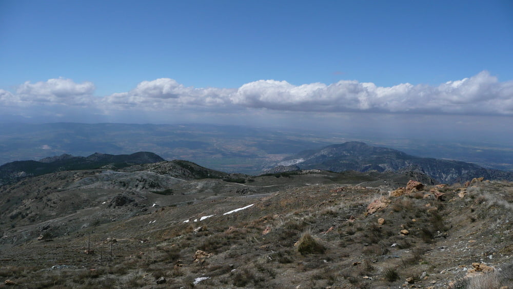
The ascent of 1200m had an average of 8% but some parts were as much as 24% so it was quite a challenge. The views from Fuente de Mailopez and particularly along the Camino de la Dehesa from the junction with Camino del Espinar to the top were fantastic. The descent is also beautiful.
A route well worth doing, and I had some bits (another 500m ascent) up on Fuente de Mailopez as possible alternatives or add-ons.
All in all today was quite an adventure and I would recommend not to try this before the entire Camino de la Dehesa is free of snow or take crampons, a climbing rope and ice axes with you! If there had been more snow or the snow was frozen hard, we wouldn’t have been able to pass and would have had to turn back, either descending the way we came or via Camino del Espinar which we had already ridden on day 3.
Further information at
http://www.creamteam.beTour gallery
Tour map and elevation profile
Minimum height 926 m
Maximum height 2177 m
More about the tour author
|
|
Cream Team |
Comments

GPS tracks
Trackpoints-
GPX / Garmin Map Source (gpx) download
-
TCX / Garmin Training Center® (tcx) download
-
CRS / Garmin Training Center® (crs) download
-
Google Earth (kml) download
-
G7ToWin (g7t) download
-
TTQV (trk) download
-
Overlay (ovl) download
-
Fugawi (txt) download
-
Kompass (DAV) Track (tk) download
-
Track data sheet (pdf) download
-
Original file of the author (gpx) download
More about the tour author
|
|
Cream Team |
Add to my favorites
Remove from my favorites
Edit tags
Open track
My score
Rate