


Kurze Feierabend Sprinttour entlang des fränkische Jura mit schönen Aussichten über die mittelalterliche Stadt.
Der Aufstieg auf die Jurakante wird gleich zweimal bewältigt.
Geparkt werden kann am Parkplatz am Bahnhof.
Zunächst kurzes Stück über Straße und Radweg bis Weiboldshausen.
Dann Auffahrt über Waldwege auf den Rohrberg.
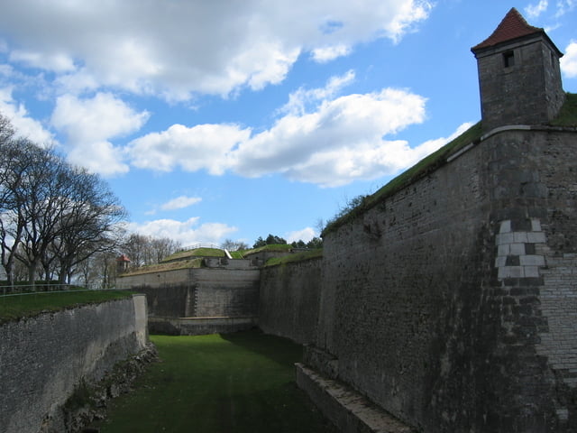
Hinterm Bismarkturm wieder runter nach Weißenburg und erneuter Aufstieg diesmal rauf zur Wülzburg. Von hier aus über den Eichelberg und den Römerbrunnen zurück nach Weißenburg.
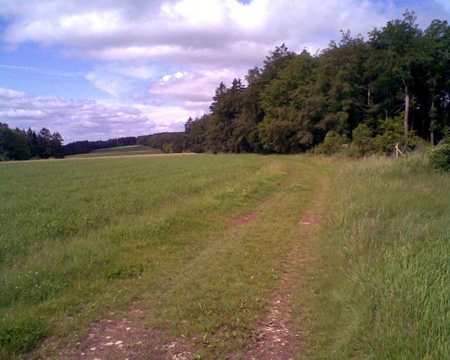
Weite Strecken über schöne Wald- und Feldwege.
Abschnitte mit Trailcharakter im Auf- und Abstieg.
Further information at
http://www.weissenburg.de/Tour gallery
Tour map and elevation profile
Minimum height 406 m
Maximum height 631 m
More about the tour author

|
harp |
Comments

Über B2 oder B13 kommend in Weißenburg der Ausschilderung Richtung Bahnhof folgen. Hier Parkplätze.
GPS tracks
Trackpoints-
GPX / Garmin Map Source (gpx) download
-
TCX / Garmin Training Center® (tcx) download
-
CRS / Garmin Training Center® (crs) download
-
Google Earth (kml) download
-
G7ToWin (g7t) download
-
TTQV (trk) download
-
Overlay (ovl) download
-
Fugawi (txt) download
-
Kompass (DAV) Track (tk) download
-
Track data sheet (pdf) download
-
Original file of the author (gpx) download
More about the tour author
|
|
harp |
Add to my favorites
Remove from my favorites
Edit tags
Open track
My score
Rate