


Start ist eine etwas versteckte Parkmöglichkeit am Waldrand zwischen Münster und Grimoldsried.
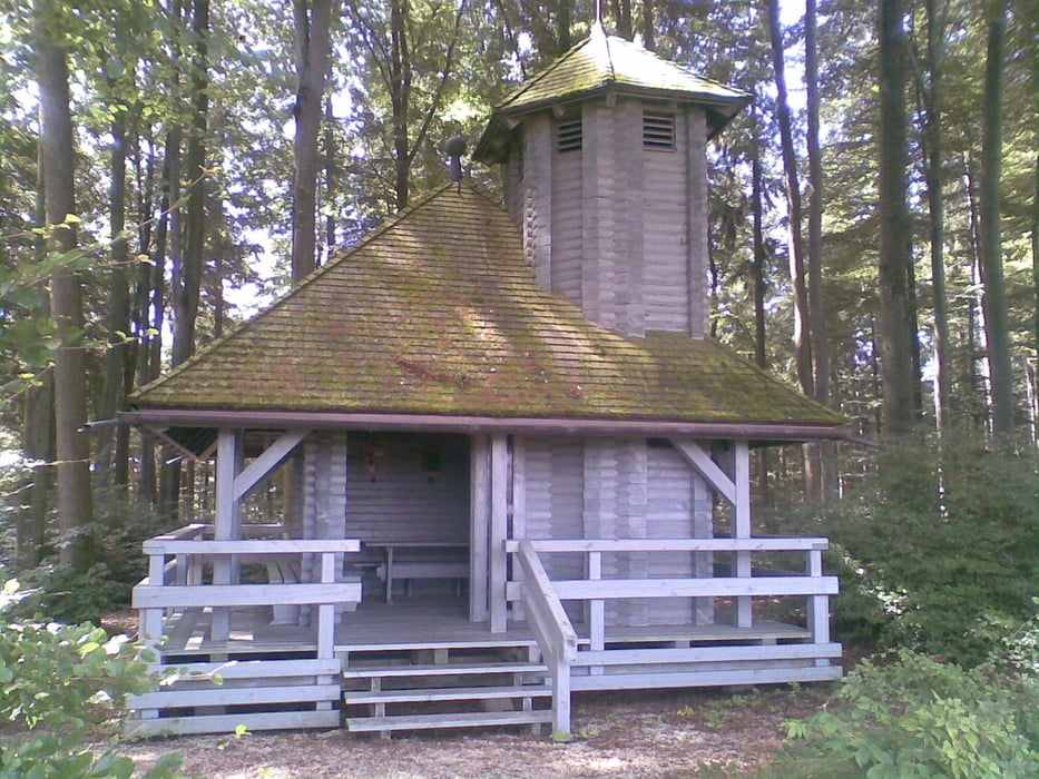
Abwechlungsreiche Wanderung im Herzen der Stauden zur idyllisch gelegen Staudenkapelle. Meist sehr gut ausgebaute Wege, auch zum Laufen bestens geeignet. Unterwegs immer wieder schöne Ausblicke ins Schmutter- Neufnach- und Schweinbachtal.
geä. Routenführung 23.09.2009 joschmi
Tour gallery

Tour map and elevation profile
Minimum height 528 m
Maximum height 625 m
More about the tour author
|
|
Staudenbiker |
Comments
D
GPS tracks
Trackpoints-
GPX / Garmin Map Source (gpx) download
-
TCX / Garmin Training Center® (tcx) download
-
CRS / Garmin Training Center® (crs) download
-
Google Earth (kml) download
-
G7ToWin (g7t) download
-
TTQV (trk) download
-
Overlay (ovl) download
-
Fugawi (txt) download
-
Kompass (DAV) Track (tk) download
-
Track data sheet (pdf) download
-
Original file of the author (gpx) download
More about the tour author
|
|
Staudenbiker |
Add to my favorites
Remove from my favorites
Edit tags
Open track
My score
Rate
Tour
Wir sind die Tour gelaufen und es war schön. Im ersen Viertel mussten wir einmal etwas durch die Brennesseln, weil der Weg doch recht zugewachsen war. Die Staudenkapelle bietet sich dann aber für eine Pause ideal an.
Danke!
Paul