


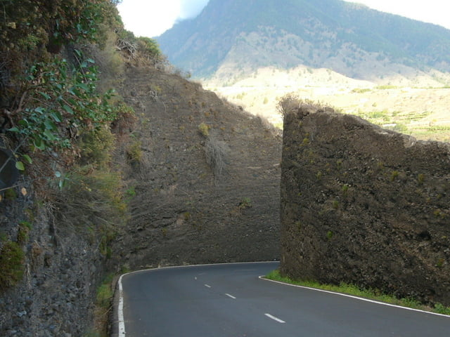
Start der Tour ist an der Hauptstrasse oberhalb von Puntagorda. Es geht zuerst nach unten zum Aussichtspunkt 500m über dem Meer. Dann beginnt der Aufstieg zum höchsten Punkt der Tour. Obwohl man auf der Hauptstrasse von La Palma fährt hält sich der Verkehr in Grenzen.
Auf der Höhe schlängelt sich die geteerte Nebenstrecke bis es zum grandiosen Abschluss einige hundert Höhenmeter auf einer Schotterstrasse nach unten geht (genial).
Viel Spass beim Nachfahren.
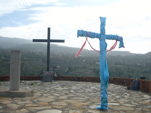
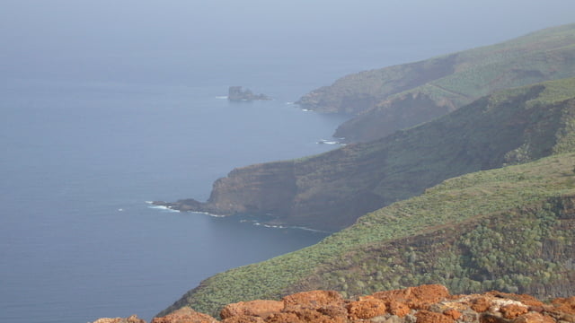
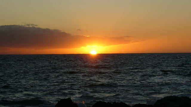
Tour gallery
Tour map and elevation profile
Minimum height 437 m
Maximum height 1223 m
More about the tour author
|
|
joa550 |
Comments

Auf der Hauptstrasse bis nach Puntagorda. Der Parkplatz liegt direkt an der Strasse
GPS tracks
Trackpoints-
GPX / Garmin Map Source (gpx) download
-
TCX / Garmin Training Center® (tcx) download
-
CRS / Garmin Training Center® (crs) download
-
Google Earth (kml) download
-
G7ToWin (g7t) download
-
TTQV (trk) download
-
Overlay (ovl) download
-
Fugawi (txt) download
-
Kompass (DAV) Track (tk) download
-
Track data sheet (pdf) download
-
Original file of the author (gpx) download
More about the tour author
|
|
joa550 |
Add to my favorites
Remove from my favorites
Edit tags
Open track
My score
Rate