


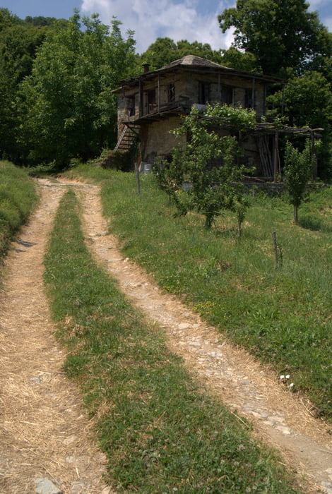
Wanderung von Chorefto nach Zagora auf der Pilion-Halbinsel
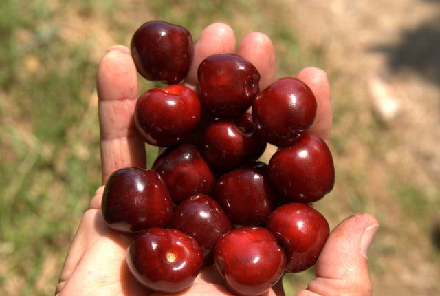
Diese Wanderung führt durch üppige Mittelmeervegetation wie man sie nur noch selten finden wird, u.a. durch Kastanienwälder. Ende Mai wird man auch der Versuchung nicht widerstehen können, die ein oder andere herrliche Kirsche von den reichlich tragenden Bäumen zu pflücken.
Diese Wanderung orientiert sich, zumindest teilweise, an einem markierten Wanderpfad, dieser ist u.a. auch im Pilion-Führer von K. Bötig (Dumont-Verlag, Köln) beschrieben.
Tour gallery

Tour map and elevation profile
Minimum height -1 m
Maximum height 502 m
More about the tour author

|
Comments

GPS tracks
Trackpoints-
GPX / Garmin Map Source (gpx) download
-
TCX / Garmin Training Center® (tcx) download
-
CRS / Garmin Training Center® (crs) download
-
Google Earth (kml) download
-
G7ToWin (g7t) download
-
TTQV (trk) download
-
Overlay (ovl) download
-
Fugawi (txt) download
-
Kompass (DAV) Track (tk) download
-
Track data sheet (pdf) download
-
Original file of the author (gpx) download
More about the tour author
|
|
Add to my favorites
Remove from my favorites
Edit tags
Open track
My score
Rate