Login

Forgot your login?

Cookies have to be accepted!
Your browser's cookie functionality is disabled. Please enable this functionality.

Not a member yet?

Register now
Login

Available for registred users only

Log in to use this feature.

Forgot your login?

Cookies have to be accepted!
Your browser's cookie functionality is disabled. Please enable this functionality.

Not a member yet?

Register now
Filter
Categories
Advanced filters
  • Distance (km)
  • Height
Save filters Reset filter

TrackRank

QRCode

Technical data

Distance38,6 km Height1113 m Way down1111 m Duration00:00 h:m Date02.06.2009
Scores Author Landscape Fun factor Fitness Technique

Statistics

1003 Views Scores 253 Downloads Average
Rate
  • Track data sheet
  • Directions
  • Downloads
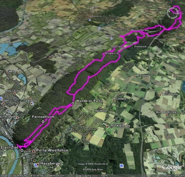
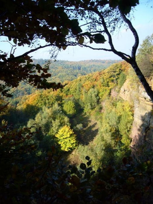
Schöner Rundkurs ausgehend von Porta-Westfalica bis nach Rinteln und zurück. Lockere Fahrt gut für eine spontane Tour auf einem Sonntag.
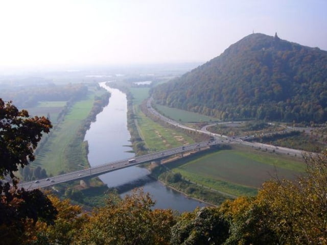
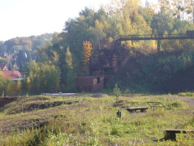
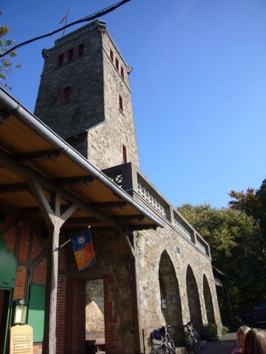
Tour gallery

Tour map and elevation profile

  • Open Street Map
  • Google
Minimum height 55 m Maximum height 302 m Detailed view

More about the tour author

Iceman123
Member since 2009

Send private message

Comments

JochenGu on 20.04.2011

Tour

Gestern gefahren, leider sind manche Stellen mittlerweile zugewachsen und man muss sich etwas durchs Dickhicht kämpfen. Teilweise technische Leckerbissen dabei
mbrider on 30.04.2011

zugewachsene Wege

Am 28.04.11 gefahren. Der größte Teil der Strecke war gut zu fahren und wirklich schön. Einige Stellen waren aber so zugewachsen, daß man selbst als Fußgänger Schwierigkeiten bekommen hätte.
Auf dem Rückweg zum Fernsehturm habe ich mich gefragt, ob der Trail neben der Straße der eigentliche Weg sein sollte, wobei sich mir der Reiz dieser "Fahrspur" nicht wirklich erschliesst (werde ich alt??).
Der Track startet in Porta-Westfalica (bei Minden) am Bahnhof.

GPS tracks

Trackpoints
  • GPX / Garmin Map Source (gpx) download
  • TCX / Garmin Training Center® (tcx) download
  • CRS / Garmin Training Center® (crs) download
  • Google Earth (kml) download
  • G7ToWin (g7t) download
  • TTQV (trk) download
  • Overlay (ovl) download
  • Fugawi (txt) download
  • Kompass (DAV) Track (tk) download
  • Track data sheet (pdf) download
  • Original file of the author (gpx) download

More about the tour author

Iceman123
Member since 2009

Send private message
Share track
Add to my favorites
Remove from my favorites
Edit tags
My score
Rate
Track: Porta - Rinteln
Type: Mountain bike
Distance: 38,6 km
Evaluated on:
Duration:
Day(s)
Hour(s)
Minute(s)
Score: Landscape Fun factor Fitness Technique