


Zwei aneinandergehängte Touren aus der Broschüre der Tourisinformation
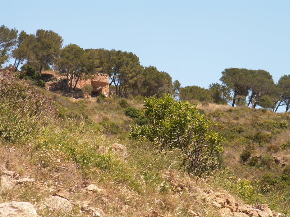
Direkt von Rosas zunächst mal den Strand entlang. die ersten Kilometer auch noch teilweise auf der Strasse, durch Canyelles hindurch. Dann beginnt der interessante Teil auf kleinen Pfaden, meist immer die Küste entlagn bis zur Cala Montjoi. Am Campingplatz dort gibt es die Möglichkeit, etwas zu trinken, Essen leider Fehlanzeige. Zurück über einen kleinen Hügel, ein ziemlich steiler Aufstieg, obwohl nur zweihundert Höhenmeter. Vom Gipfel herunter wieder auf die Strasse und auf dieser zurück nach Rosas.
Insgesamt waren wir etwa 6,5 Stunden unterwegs, die 4:30 sind die reine Laufzeit
Further information at
http://www.sumaro.net/pages/de/2009-05%20Rosas.aspxTour gallery
Tour map and elevation profile
Minimum height -7 m
Maximum height 205 m
More about the tour author

|
MarinJ |
Comments

Rosas liegt direkt an der Küste und ist gut ausgeschildert. Die Tour startet an einem öffentlichen Parkplatz, im Ort selbst ist Parken mitunter schwierig.
GPS tracks
Trackpoints-
GPX / Garmin Map Source (gpx) download
-
TCX / Garmin Training Center® (tcx) download
-
CRS / Garmin Training Center® (crs) download
-
Google Earth (kml) download
-
G7ToWin (g7t) download
-
TTQV (trk) download
-
Overlay (ovl) download
-
Fugawi (txt) download
-
Kompass (DAV) Track (tk) download
-
Track data sheet (pdf) download
-
Original file of the author (gpx) download
More about the tour author
|
|
MarinJ |
Add to my favorites
Remove from my favorites
Edit tags
Open track
My score
Rate