

Abgeleitet von einem Tourenvorschlag aus der Broschüre der Touristeninformation.
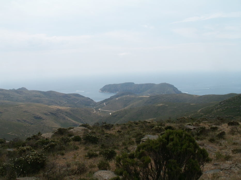
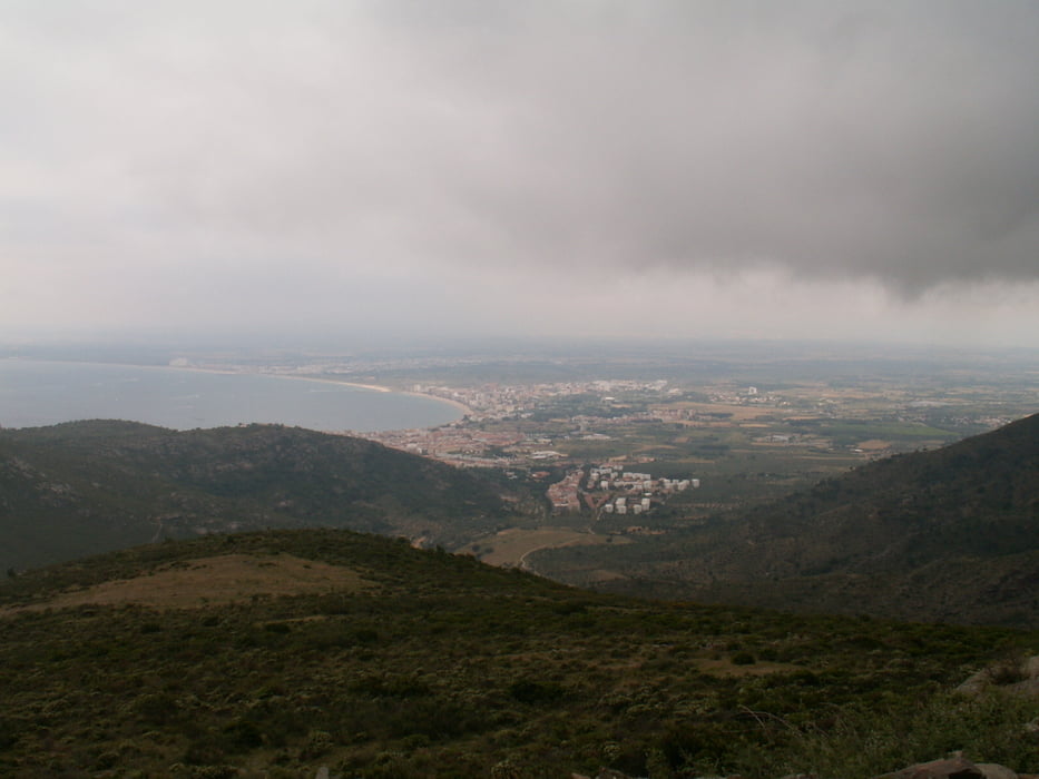
Zu Beginn eine gemächliche Steigung fast zum Gipfel des Puig Alt. Zwischendrin immer wieder atemraubende Aussichten auf Rosas und die Cala Montjoi. Eigentlich hätte der Weg um den Gipfel herumgehen sollen, aber irgendwie tut er das nicht und so entscheiden wir uns für einen schmalen Pfad, der uns nach einem kleinen Aufstieg von etwa 250 Höhenmetern wieder auf unseren ursprünglichen Weg zurückführt.
Further information at
http://www.sumaro.net/pages/de/2009-05%20Rosas.aspxTour gallery
Tour map and elevation profile
Minimum height 171 m
Maximum height 449 m
More about the tour author

|
MarinJ |
Comments

Man nimmt zunächst die Strasse von Rosas nach Cadaques und biegt auf dieser Richtung Can Peni ab. Dort kann man am Strassenrand parken.
GPS tracks
Trackpoints-
GPX / Garmin Map Source (gpx) download
-
TCX / Garmin Training Center® (tcx) download
-
CRS / Garmin Training Center® (crs) download
-
Google Earth (kml) download
-
G7ToWin (g7t) download
-
TTQV (trk) download
-
Overlay (ovl) download
-
Fugawi (txt) download
-
Kompass (DAV) Track (tk) download
-
Track data sheet (pdf) download
-
Original file of the author (gpx) download
More about the tour author
|
|
MarinJ |
Add to my favorites
Remove from my favorites
Edit tags
Open track
My score
Rate