

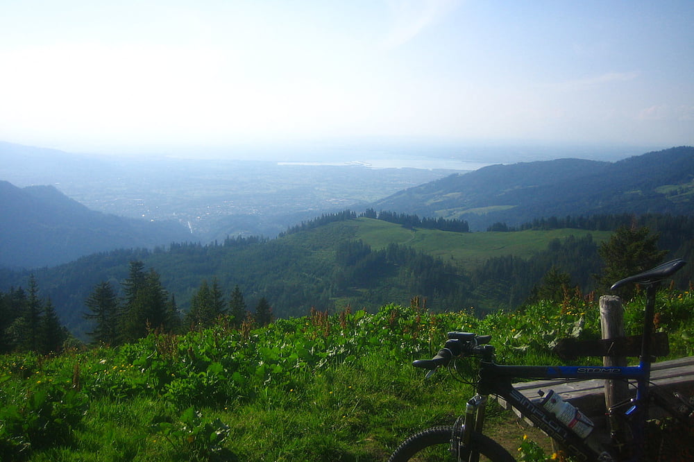
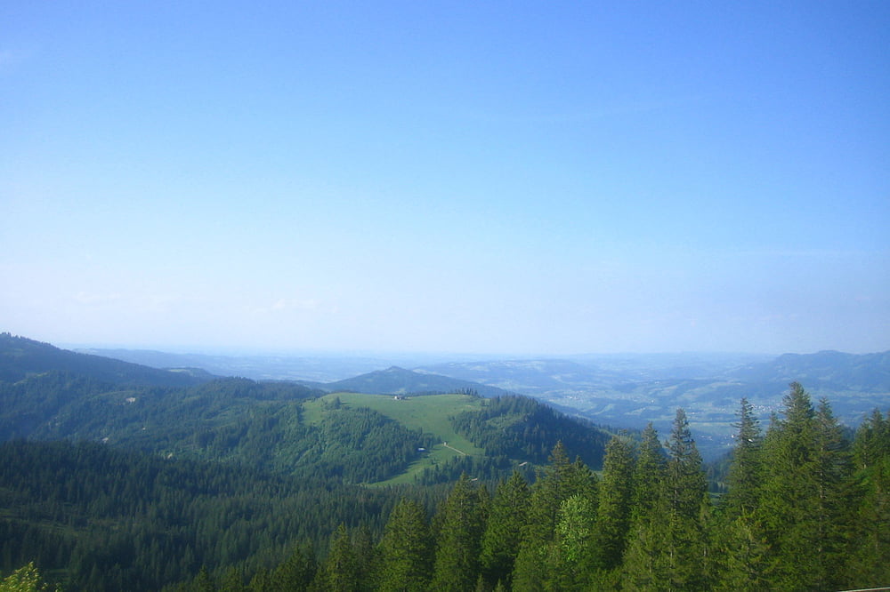
Dornbirn, Hauptschule Haselstauden rauf nach Kählegg-Bühleralp-Gräserweg-Obersehrenalpe das letzte viertel steile ruppige Auffahrt aber es lohnt sich vom Gipfelkreuz hat man eine tolle Aussicht.
Die gleiche Strecke runter bis zur Ersten Gabelung die Straße scharf links nehmen dann kommt noch ein Trail zur Hasengerachalpe runter ins Kobel-Ebniterstraße-Gütle-übers Oberdorf zur Hauptschule
Haselstauden.
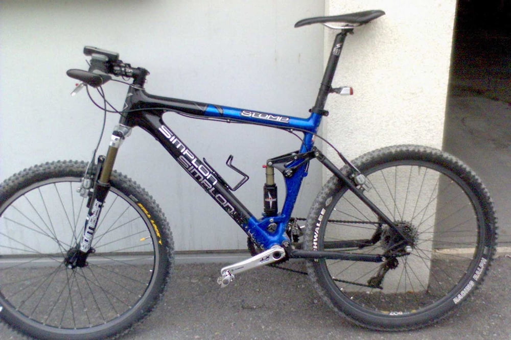
Tour gallery
Tour map and elevation profile
Minimum height 414 m
Maximum height 1507 m
More about the tour author
|
|
Markus69 |
Comments

Rheintal Autobahn A14 Ausfahrt Dornbirn Nord beim Kreisverkehr erste Ausfahrt Richtung
Dornbirn bei der ersten Ampel links, nach der Bahnunterführung gleich erste rechts, 200m auf der linken Seite ist die Hauptschule Haselstauden wo man gratis Parken kann.
GPS tracks
Trackpoints-
GPX / Garmin Map Source (gpx) download
-
TCX / Garmin Training Center® (tcx) download
-
CRS / Garmin Training Center® (crs) download
-
Google Earth (kml) download
-
G7ToWin (g7t) download
-
TTQV (trk) download
-
Overlay (ovl) download
-
Fugawi (txt) download
-
Kompass (DAV) Track (tk) download
-
Track data sheet (pdf) download
-
Original file of the author (gpx) download
More about the tour author
|
|
Markus69 |
Add to my favorites
Remove from my favorites
Edit tags
Open track
My score
Rate