Login

Forgot your login?

Cookies have to be accepted!
Your browser's cookie functionality is disabled. Please enable this functionality.

Not a member yet?

Register now
Login

Available for registred users only

Log in to use this feature.

Forgot your login?

Cookies have to be accepted!
Your browser's cookie functionality is disabled. Please enable this functionality.

Not a member yet?

Register now
Filter
Categories
Advanced filters
  • Distance (km)
  • Height
Save filters Reset filter

TrackRank

QRCode

Technical data

Distance29,5 km Height1207 m Way down1203 m Duration03:00 h:m Date05.06.2009
Scores Author Landscape Fun factor Fitness Technique

Statistics

550 Views 1 Score 136 Downloads 4.00 Average
Rate
  • Track data sheet
  • Directions
  • Downloads

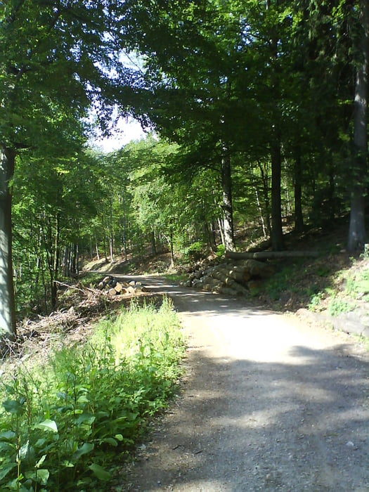
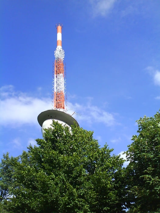
Feierabendrunde, rauf zum Königstuhl, dann etwas über Waldwege und nachher über Trails zurück nach Heidelberg.

Schöne Trails, tolle Aussichten und eine Einkehr oben an der Seilbahnstation ist auch dabei.

Tour gallery

Tour map and elevation profile

  • Open Street Map
  • Google
Minimum height 103 m Maximum height 610 m Detailed view

More about the tour author

Paul.Steffes
Member since 2007

Send private message

Comments

Heidelberg

GPS tracks

Trackpoints
  • GPX / Garmin Map Source (gpx) download
  • TCX / Garmin Training Center® (tcx) download
  • CRS / Garmin Training Center® (crs) download
  • Google Earth (kml) download
  • G7ToWin (g7t) download
  • TTQV (trk) download
  • Overlay (ovl) download
  • Fugawi (txt) download
  • Kompass (DAV) Track (tk) download
  • Track data sheet (pdf) download
  • Original file of the author (gpx) download

More about the tour author

Paul.Steffes
Member since 2007

Send private message
Share track
Add to my favorites
Remove from my favorites
Edit tags
My score
Rate
Track: Heidelberg Königstuhl
Type: Mountain bike
Distance: 29,5 km
Evaluated on:
Duration:
Day(s)
Hour(s)
Minute(s)
Score: Landscape Fun factor Fitness Technique