
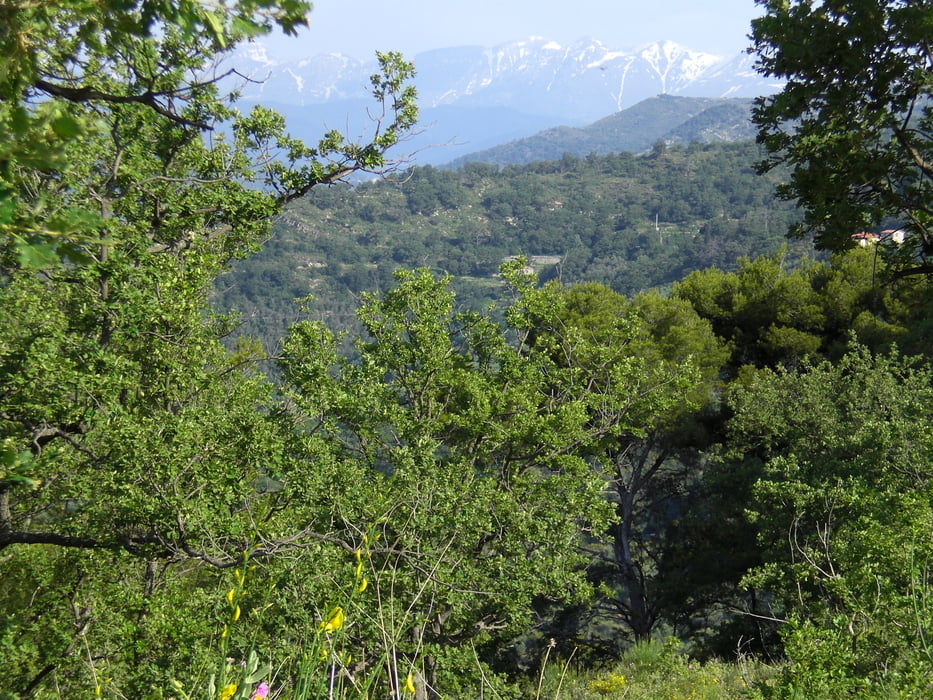

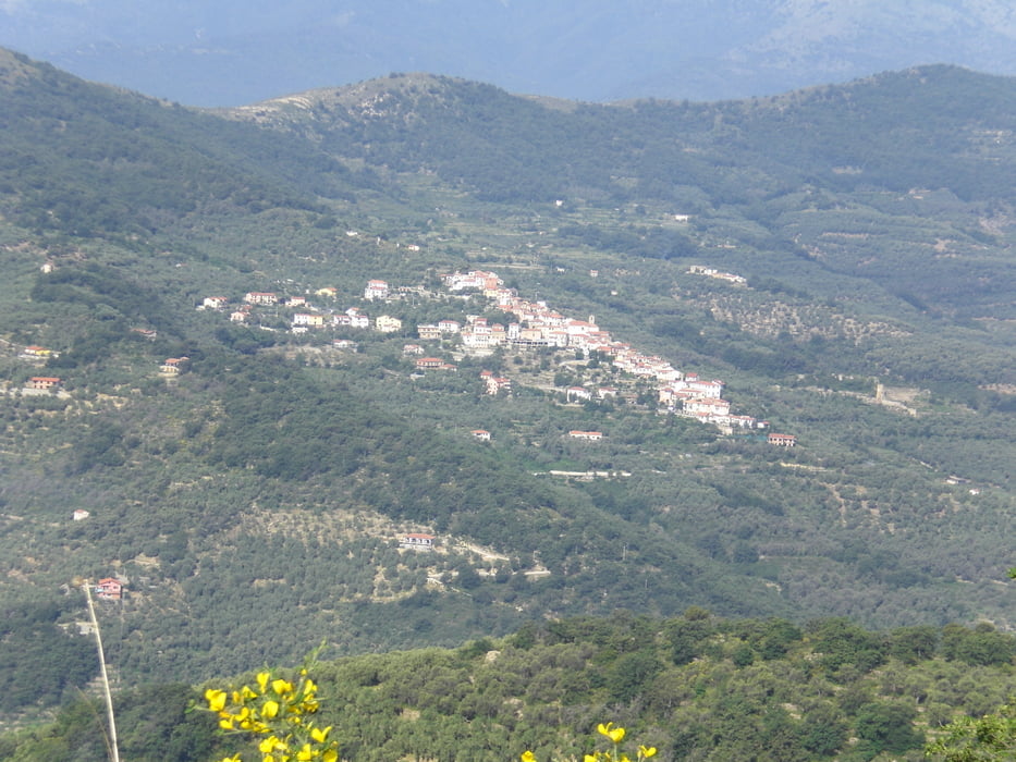
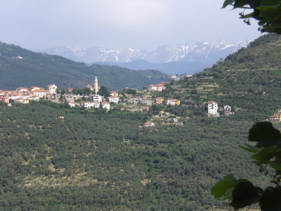
Von Cervo nach Diano Marina hinauf auf einem schönen Trail nach Diano Gorleri und dann auf kleinen Schotter- und Asphaltsträsschen nach Chiasanuco und dann weiter nach Torria. Von dort hinauf zur Kirche Madonna di nochmal was und weiter in einem Bachbett hinauf. Dann rechts abbiegen und nur noch abwärts. Auf der Strasse nach Testico angekommen rechts abbiegen nach Costa und dann wieder hinauf Richtung Monte Torre. Leider muss man ca. 150 Hm schieben, um dann auf einen querenden Pfad zu kommen. Weiter gehts auf Kuhpfaden auf einen Schotterweg, der dann in einen Wanderpfad (Sentiero) einmündet, der bis nach St. Bartolmae al Mare runter führt. Echt Spitze ca. 600 hm Downhill.
Tour gallery
Tour map and elevation profile
Minimum height 4 m
Maximum height 796 m
More about the tour author
|
|
Fruehaufsteher |
Comments

GPS tracks
Trackpoints-
GPX / Garmin Map Source (gpx) download
-
TCX / Garmin Training Center® (tcx) download
-
CRS / Garmin Training Center® (crs) download
-
Google Earth (kml) download
-
G7ToWin (g7t) download
-
TTQV (trk) download
-
Overlay (ovl) download
-
Fugawi (txt) download
-
Kompass (DAV) Track (tk) download
-
Track data sheet (pdf) download
-
Original file of the author (gpx) download
More about the tour author
|
|
Fruehaufsteher |
Add to my favorites
Remove from my favorites
Edit tags
Open track
My score
Rate