Login

Forgot your login?

Cookies have to be accepted!
Your browser's cookie functionality is disabled. Please enable this functionality.

Not a member yet?

Register now
Login

Available for registred users only

Log in to use this feature.

Forgot your login?

Cookies have to be accepted!
Your browser's cookie functionality is disabled. Please enable this functionality.

Not a member yet?

Register now
Filter
Categories
Advanced filters
  • Distance (km)
  • Height
Save filters Reset filter

TrackRank

QRCode

Technical data

Distance30,6 km Height506 m Way down523 m Duration02:15 h:m Date05.06.2009
Scores Author Landscape Fun factor Fitness Technique

Statistics

729 Views Scores 108 Downloads Average
Rate
  • Track data sheet
  • Directions
  • Downloads

Tourstart ist in Urmitz und geht über die Rheinbrücke nach Heimbach/Weiß, weiter am Zoo vorbei ins Saynbachtal,dann über Stromberg ins Brexbachtal zur Burg Sayn.Dort kann man bei Bedarf ne kleine Kaffeepause einlegen und danach entspannt ausrollen über Sayn zum Rhein und zurück nach Urmitz.
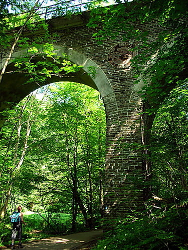
Tour gallery

Tour map and elevation profile

  • Open Street Map
  • Google
Minimum height 64 m Maximum height 285 m Detailed view

More about the tour author

deAnde
Member since 2008

Send private message

Comments

GPS tracks

Trackpoints
  • GPX / Garmin Map Source (gpx) download
  • TCX / Garmin Training Center® (tcx) download
  • CRS / Garmin Training Center® (crs) download
  • Google Earth (kml) download
  • G7ToWin (g7t) download
  • TTQV (trk) download
  • Overlay (ovl) download
  • Fugawi (txt) download
  • Kompass (DAV) Track (tk) download
  • Track data sheet (pdf) download
  • Original file of the author (gpx) download

More about the tour author

deAnde
Member since 2008

Send private message
Share track
Add to my favorites
Remove from my favorites
Edit tags
My score
Rate
Track: Burg und Tälerrunde
Type: Mountain bike
Distance: 30,6 km
Evaluated on:
Duration:
Day(s)
Hour(s)
Minute(s)
Score: Landscape Fun factor Fitness Technique