


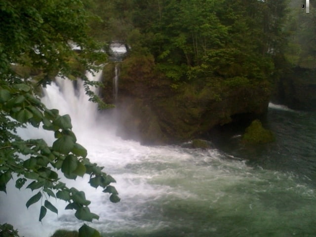
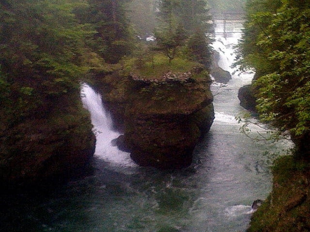
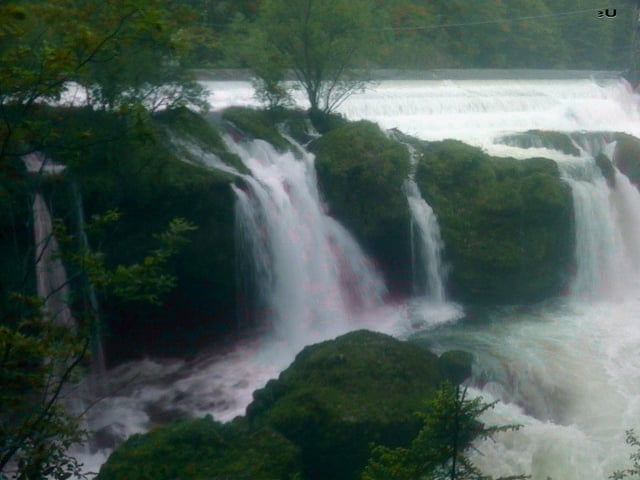
Traunwanderweg - Traunfall
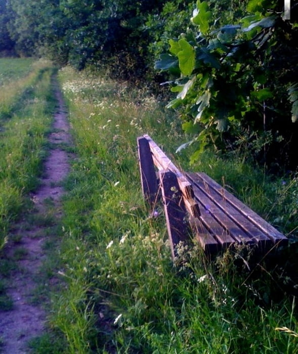
Sehr schöne Laufrunde - zu 90% auf Karren- bzw. Wanderwege. Im Bereich Traunfall kommt man an herrliche Aussichtspunkte vorbei - sehenswert für die ganze Familie ... zurück geht es entlang der Traun.
Die Tour kann auch hervorragend mit dem Mountainbike gefahren werden, zum Teil aber gute Fahrtechnik von Nöten --> oder ggf. schieben ...
Badeklamotten nicht vergessen (kalt ...)!
Viel Spaß bei der Tour !
Further information at
http://www.desselbrunn.at/system/web/sonderseite.aspx?menuonr=218460075&detailonr=218460075Tour gallery
Tour map and elevation profile
Minimum height 345 m
Maximum height 428 m
More about the tour author

|
Nostradamus113 |
Comments

Autobahnabfahrt 'Steyrermühl - Richtung Ohlsdorf Traunbrücke queren,kleinen Anstieg hoch und rechts in der Siedlung parken
GPS tracks
Trackpoints-
GPX / Garmin Map Source (gpx) download
-
TCX / Garmin Training Center® (tcx) download
-
CRS / Garmin Training Center® (crs) download
-
Google Earth (kml) download
-
G7ToWin (g7t) download
-
TTQV (trk) download
-
Overlay (ovl) download
-
Fugawi (txt) download
-
Kompass (DAV) Track (tk) download
-
Track data sheet (pdf) download
-
Original file of the author (gpx) download
More about the tour author
|
|
Nostradamus113 |
Add to my favorites
Remove from my favorites
Edit tags
Open track
My score
Rate